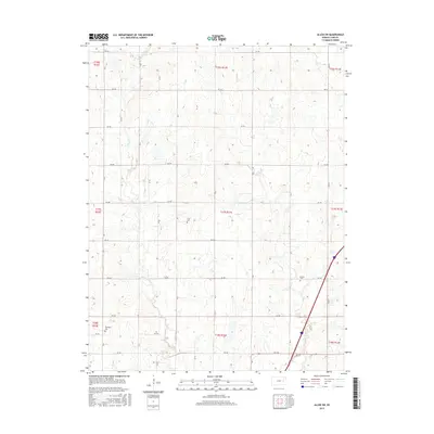
2015 Map of Allen SW
USGS Topo · Published 2015About this map
The rolling agricultural landscape of northern Lyon County is defined by the drainage of Allen Cr and Duck Cr as they flow through the Flint Hills region. This 2015 survey preserves the locations of several historic burial grounds, which serve as primary markers of the area's rural settlement patterns. Genealogists and local researchers will find Frost Cem centrally located, while Rosean Cem sits to the southeast and Township Cem is positioned in the southwestern portion of the quadrangle. The map reflects a deeply ingrained section-line road system, with a network of numbered rural routes including RD 310 and RD 240 that still follow the original Public Land Survey System boundaries established in the 19th century.
Find a feature on this map
25 named features on this map. Tap any name to fly to it.
Don’t see what you’re looking for? This feature index may not catch every label — zoom into the map to look around manually.
Map Details
Editions of this 2015 Allen SW Map
This is the sole edition of this map. No revisions or reprints were ever made.
Other maps of this area

1885 · Eskridge
USGS Topo · 1:125,000

1888 · Emporia
USGS Topo · 1:125,000

1889 · Eskridge
USGS Topo · 1:125,000

1894 · Emporia
USGS Topo · 1:125,000

1894 · Eskridge
USGS Topo · 1:125,000

1955 · Hutchinson
USGS Topo · 1:250,000

1957 · Lang
USGS Topo · 1:24,000

1957 · Emporia
USGS Topo · 1:24,000

1957 · Plymouth
USGS Topo · 1:24,000

1959 · Hutchinson
USGS Topo · 1:250,000