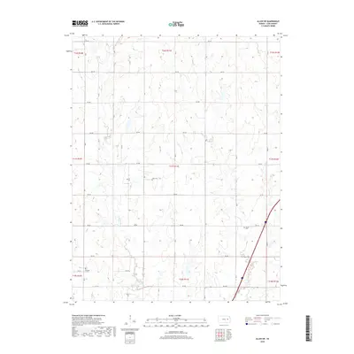
2018 Map of Allen SW
USGS Topo · Published 2018About this map
Allen Creek winds through this rural section of Lyon County, defining a landscape of low-relief drainages and a strictly organized grid of country roads. The area is characterized by its agricultural layout, where RD 300 and RD 250 provide primary access across the rolling plains. A small collection of pioneer and community burial grounds provides significant touchpoints for local researchers and genealogists, specifically Frost Cem located centrally and Rosean Cem further to the east. In the southwestern corner, Township Cem sits just off RD 245. These small, dedicated sites are the primary indicators of historical settlement patterns in a territory otherwise dominated by open acreage and seasonal watercourses like Duck Creek in the northeast.
Find a feature on this map
24 named features on this map. Tap any name to fly to it.
Don’t see what you’re looking for? This feature index may not catch every label — zoom into the map to look around manually.
Map Details
Editions of this 2018 Allen SW Map
This is the sole edition of this map. No revisions or reprints were ever made.
Other maps of this area

1885 · Eskridge
USGS Topo · 1:125,000

1888 · Emporia
USGS Topo · 1:125,000

1889 · Eskridge
USGS Topo · 1:125,000

1894 · Emporia
USGS Topo · 1:125,000

1894 · Eskridge
USGS Topo · 1:125,000

1955 · Hutchinson
USGS Topo · 1:250,000

1957 · Lang
USGS Topo · 1:24,000

1957 · Emporia
USGS Topo · 1:24,000

1957 · Plymouth
USGS Topo · 1:24,000

1959 · Hutchinson
USGS Topo · 1:250,000