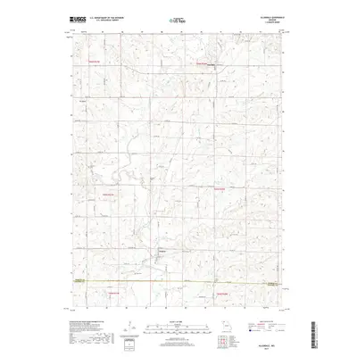
2017 Map of Allendale
USGS Topo · Published 2017About this map
The E Fork Grand River cuts a winding path through the borderlands of Worth and Gentry counties, defining the agricultural character of this northern Missouri landscape. The small settlements of Allendale and Denver serve as local anchors, connected by a network of county roads and state highways like State Hwy C and State Hwy M. This 2017 survey reveals a rural topography shaped by numerous watercourses, including Big Rock Cr, Little Rock Cr, and Wharton Br.
Find a feature on this map
84 named features on this map. Tap any name to fly to it.
Don’t see what you’re looking for? This feature index may not catch every label — zoom into the map to look around manually.
Map Details
Editions of this 2017 Allendale Map
This is the sole edition of this map. No revisions or reprints were ever made.
Other maps of this area

1940 · Blockton
USGS Topo · 1:62,500

1942 · Grant City
USGS Topo · 1:62,500

1943 · Grant City
USGS Topo · 1:62,500

1943 · Blockton
USGS Topo · 1:62,500

1945 · Mount Ayr
USGS Topo · 1:62,500

1947 · Mount Ayr
USGS Topo · 1:62,500

1948 · Bethany
USGS Topo · 1:62,500

1955 · Nebraska City
USGS Topo · 1:250,000

1957 · Nebraska City
USGS Topo · 1:250,000

1958 · Nebraska City
USGS Topo · 1:250,000