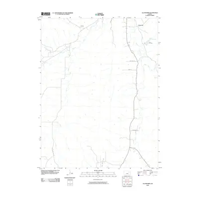
2009 Map of Allendorph
USGS Topo · Published 2009About this map
Allendorph anchors the northern reaches of this Flint Hills landscape, where the intricate drainage of Mill Creek and its many branches defines the terrain. The hydrological importance of the region is evident in the Alma City Reservoir, held by the Alma City Dam to the east. The rural character of the area is underscored by historical local identifiers like Poor Farm Rd and Ridge Rd, which trace the higher elevations between the creek valleys.
Find a feature on this map
15 named features on this map. Tap any name to fly to it.
Don’t see what you’re looking for? This feature index may not catch every label — zoom into the map to look around manually.
Map Details
Editions of this 2009 Allendorph Map
This is the sole edition of this map. No revisions or reprints were ever made.
Other maps of this area

1885 · Eskridge
USGS Topo · 1:125,000

1889 · Wamego
USGS Topo · 1:125,000

1889 · Eskridge
USGS Topo · 1:125,000

1894 · Eskridge
USGS Topo · 1:125,000

1894 · Wamego
USGS Topo · 1:125,000
1953 · Wamego SW
USGS Topo · 1:24,000

1954 · Alma
USGS Topo · 1:24,000

1954 · Mc Farland
USGS Topo · 1:24,000

1955 · Manhattan
USGS Topo · 1:250,000

1955 · Hutchinson
USGS Topo · 1:250,000