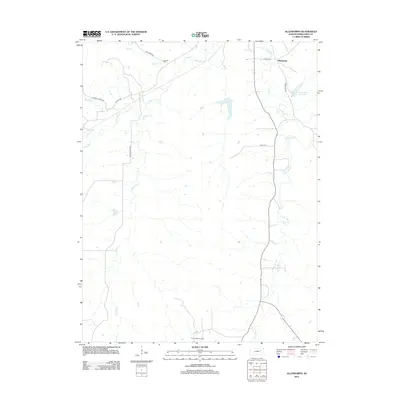
2012 Map of Allendorph
USGS Topo · Published 2012About this map
Allendorph and the surrounding Wabaunsee County landscape are defined by a complex network of waterways feeding into the Kansas River drainage basin. In the early 21st century, this region maintains a predominantly rural character, where the topography is etched by the W Br Mill Cr and its various tributaries including S Br Mill Cr and Illinois Cr. The presence of the Davis Ranch Oil Field in the southern portion of the quadrangle indicates the localized importance of energy extraction within the agricultural environment. For genealogists and local historians, the Fairview Cem near Loire Cr and the Alma City Reservoir serve as fixed points of reference in a terrain otherwise characterized by long-established ranch roads such as Skyline Rd and Ridge Rd. This survey documents the intersection of natural water systems and the infrastructure of the modern Kansas prairie.
Find a feature on this map
17 named features on this map. Tap any name to fly to it.
Don’t see what you’re looking for? This feature index may not catch every label — zoom into the map to look around manually.
Map Details
Editions of this 2012 Allendorph Map
This is the sole edition of this map. No revisions or reprints were ever made.
Other maps of this area

1885 · Eskridge
USGS Topo · 1:125,000

1889 · Wamego
USGS Topo · 1:125,000

1889 · Eskridge
USGS Topo · 1:125,000

1894 · Eskridge
USGS Topo · 1:125,000

1894 · Wamego
USGS Topo · 1:125,000
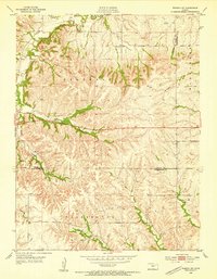
1953 · Wamego SW
USGS Topo · 1:24,000

1954 · Alma
USGS Topo · 1:24,000

1954 · Mc Farland
USGS Topo · 1:24,000

1955 · Manhattan
USGS Topo · 1:250,000

1955 · Hutchinson
USGS Topo · 1:250,000