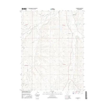
2015 Map of Allendorph
USGS Topo · Published 2015About this map
Allendorph and the surrounding drainage basins of Wabaunsee County are defined by a network of creeks and rural arteries in this 2015 survey. The landscape is carved by the South Br Mill Cr and West Br Mill Cr, which flow through the rolling terrain toward the Alma City Reservoir in the northeast. Genealogists may find interest in the Fairview Cem located near the headwaters of Loire Cr, serving as a silent witness to the area's agricultural history. The road network preserves several descriptive local names, including Poor Farm Rd, Skyline Rd, and the curiously named Little Egypt Rd in the southwest corner. The map also traces the winding course of Illinois Creek as it moves through the western sections of the township boundaries, illustrating the persistent relationship between the local hydrology and the established section lines of the Flint Hills region.
Find a feature on this map
25 named features on this map. Tap any name to fly to it.
Don’t see what you’re looking for? This feature index may not catch every label — zoom into the map to look around manually.
Map Details
Editions of this 2015 Allendorph Map
This is the sole edition of this map. No revisions or reprints were ever made.
Other maps of this area

1885 · Eskridge
USGS Topo · 1:125,000

1889 · Wamego
USGS Topo · 1:125,000

1889 · Eskridge
USGS Topo · 1:125,000

1894 · Eskridge
USGS Topo · 1:125,000

1894 · Wamego
USGS Topo · 1:125,000
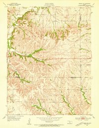
1953 · Wamego SW
USGS Topo · 1:24,000

1954 · Alma
USGS Topo · 1:24,000

1954 · Mc Farland
USGS Topo · 1:24,000

1955 · Manhattan
USGS Topo · 1:250,000

1955 · Hutchinson
USGS Topo · 1:250,000