
1947 Map of Allens Ranch
USGS Topo · Published 1958About this map
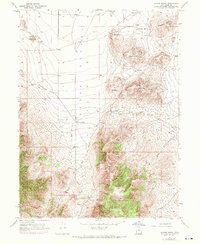
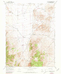
Cedar Valley dominates the northern half of this mid-century landscape, a broad basin defined by the steady descent from the surrounding hills. In the southern reaches, the terrain grows significantly more complex where the mining industry established a foothold. Prospectors and mining engineers will recognize several named claims concentrated in the lower elevations, including the Tintic Paymaster No. 2, Tintic Paymaster, and the Selma Mine.
Find a feature on this map
21 named features on this map. Tap any name to fly to it.
Don’t see what you’re looking for? This feature index may not catch every label — zoom into the map to look around manually.
Map Details
Editions of this 1947 Allens Ranch Map
3 editions found
Other maps of this area

1885 · Salt Lake
USGS Topo · 1:250,000

1885 · Manti
USGS Topo · 1:250,000

1885 · Sevier Desert
USGS Topo · 1:250,000

1885 · Tooele Valley
USGS Topo · 1:250,000

1895 · Manti
USGS Topo · 1:250,000

1947 · Fivemile Pass
USGS Topo · 1:62,500

1947 · Boulter Peak
USGS Topo · 1:24,000

1947 · Goshen Pass
USGS Topo · 1:24,000

1949 · Eureka
USGS Topo · 1:24,000

1949 · Allens Ranch
USGS Topo · 1:24,000