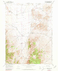
1947 Map of Allens Ranch
USGS Topo · Published 1981About this map
Allens Ranch serves as a central landmark in this Utah landscape, situated where the open expanse of Cedar Valley meets the rising terrain of the East Tintic Mountains. The map reveals a mid-century mining and ranching economy, with scattered operations like the Tintic Paymaster No. 2, Tintic Empire, and Selma Mine located in the southern hills. These mining claims are reached through a network of canyons, including Holdaway Canyon and Chiulos Canyon, which cut through the steep slopes below Bismark Peak.
Find a feature on this map
26 named features on this map. Tap any name to fly to it.
Don’t see what you’re looking for? This feature index may not catch every label — zoom into the map to look around manually.
Map Details
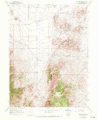
Editions of this 1947 Allens Ranch Map
3 editions found
Other maps of this area

1885 · Salt Lake
USGS Topo · 1:250,000

1885 · Manti
USGS Topo · 1:250,000

1885 · Sevier Desert
USGS Topo · 1:250,000

1885 · Tooele Valley
USGS Topo · 1:250,000

1895 · Manti
USGS Topo · 1:250,000

1947 · Fivemile Pass
USGS Topo · 1:62,500

1947 · Allens Ranch
USGS Topo · 1:24,000

1947 · Boulter Peak
USGS Topo · 1:24,000

1947 · Goshen Pass
USGS Topo · 1:24,000

1949 · Eureka
USGS Topo · 1:24,000