
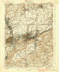
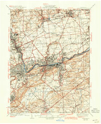
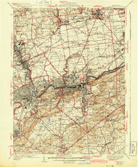
1939 Map of Allentown
USGS Topo · Published 1939About this map
The Lehigh River corridor serves as the industrial and transportation spine of this region during the mid-1930s, connecting established manufacturing centers like Northampton, Catasauqua, and Copley. The landscape is a dense network of early aviation and heavy industry, featuring both the Allentown Bethlehem Airport and the Bethlehem Landing Field, alongside massive operations like the Cement Plant near Brodhead. This era shows the Lehigh Valley transitioning from its deep agrarian roots—marked by dozens of family-named schoolhouses such as Knauss Sch, Steinmetz Sch, and Yoder Sch—into a modern hub defined by the L And Ne RR and Reading RR lines.
Find a feature on this map
169 named features on this map. Tap any name to fly to it.
Don’t see what you’re looking for? This feature index may not catch every label — zoom into the map to look around manually.
Map Details
Editions of this 1939 Allentown Map
4 editions found
Other maps of this area

1888 · Quakertown
USGS Topo · 1:62,500

1890 · Easton
USGS Topo · 1:62,500

1890 · Doylestown
USGS Topo · 1:62,500

1890 · Quakertown
USGS Topo · 1:62,500

1891 · Easton
USGS Topo · 1:62,500

1891 · Doylestown
USGS Topo · 1:62,500

1891 · Delaware Water Gap
USGS Topo · 1:62,500

1893 · Delaware Water Gap
USGS Topo · 1:62,500

1894 · Allentown
USGS Topo · 1:62,500

1894 · Quakertown
USGS Topo · 1:62,500