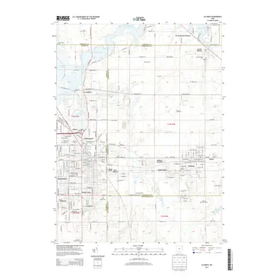
2013 Map of Alliance
USGS Topo · Published 2013About this map
The Mahoning River carves through this northern Ohio landscape, connecting the industrial and residential hubs of Alliance and Sebring. In the early 21st century, the area shows a distinct transition from dense urban street grids to sprawling agricultural holdings like Red Rose Farms and Churchside Dairy Farm. The map reveals the intricate neighborhood layout of Mount Union, centered around Mt Union Coll, and the neighboring community of Maple Ridge. This region is a study in local history and genealogy, preserved through numerous burial grounds such as Dutch Church and the Alliance Jewish Cem. Water management dominates the northern sections, where the Berlin Lake and Deer Creek Reservoir define the topography, while small aviation landmarks like Miller Airport and Barber Airport dot the rural fringes between the Stark Co and Mahoning Co lines.
Find a feature on this map
125 named features on this map. Tap any name to fly to it.
Don’t see what you’re looking for? This feature index may not catch every label — zoom into the map to look around manually.
Map Details
Editions of this 2013 Alliance Map
This is the sole edition of this map. No revisions or reprints were ever made.
Other maps of this area

1906 · Ravenna
USGS Topo · 1:62,500

1908 · Warren
USGS Topo · 1:62,500

1908 · Ravenna
USGS Topo · 1:62,500

1909 · Alliance
USGS Topo · 1:62,500

1909 · Lisbon
USGS Topo · 1:62,500

1950 · Cleveland
USGS Topo · 1:250,000

1951 · Canton
USGS Topo · 1:250,000

1952 · Lake Milton
USGS Topo · 1:24,000

1952 · Alliance
USGS Topo · 1:24,000

1952 · Damascus
USGS Topo · 1:24,000