2023 Map of Alliance
USGS Topo · Published 2023About this map
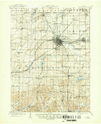
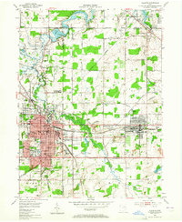
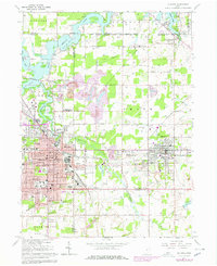
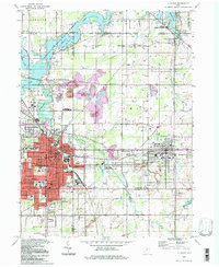
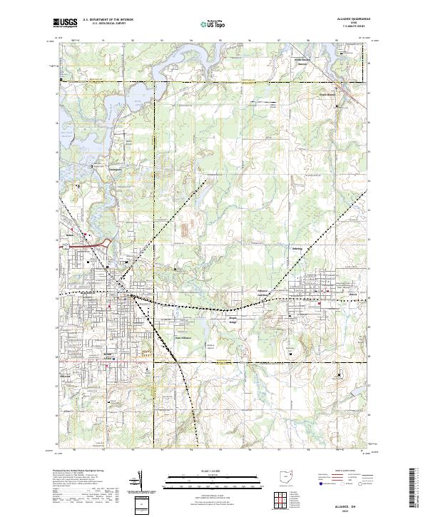
Alliance and its surrounding communities sit at a major intersection of geography and history where Stark, Mahoning, and Columbiana counties meet. The landscape is defined by the Mahoning River and the northern expanse of Berlin Lake, which dominate the upper portion of the quadrangle. As a significant regional hub, the area around Mount Union reflects a legacy of education and industry, centered on the University of Mount Union. The map reveals a dense network of local cemeteries, such as Saint Josephs Cem and the Alliance Jewish Cem, which serve as vital touchpoints for genealogical research. Smaller settlements like North Benton Station, Beloit, and Lexington are connected by a grid of rural routes including Cleveland East Liverpool Rd, showing the continued importance of these towns in the modern era.
Find a feature on this map
151 named features on this map. Tap any name to fly to it.
Don’t see what you’re looking for? This feature index may not catch every label — zoom into the map to look around manually.
Map Details
Editions of this 2023 Alliance Map
This is the sole edition of this map. No revisions or reprints were ever made.
Historical Maps of Maple Ridge Through Time
5 maps found