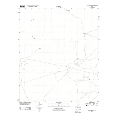
2010 Map of Alligator Draw
USGS Topo · Published 2010About this map
Delaware River Ranch sits at the center of this arid landscape in Culberson County, where human presence is defined by the vital necessity of water management. The terrain is marked by the distinctive Yeso Hills to the northwest and the winding course of Alligator Draw, which cuts across the territory toward the Delaware River in the southeast. This 2010 survey illustrates a sparsely settled ranching region where remote infrastructure is named for its specific function or location, including Down-in-the-Hole Windmill, Fence Line Windmill, and East Windmill. Transportation is limited to a few key arteries such as FM 652 and the functional Pipeline Rd, while the natural topography of Rector Canyon provides a stark contrast to the surveyed road grid.
Find a feature on this map
12 named features on this map. Tap any name to fly to it.
Don’t see what you’re looking for? This feature index may not catch every label — zoom into the map to look around manually.
Map Details
Editions of this 2010 Alligator Draw Map
This is the sole edition of this map. No revisions or reprints were ever made.
Other maps of this area

1940 · Carlsbad Caverns West
USGS Topo · 1:62,500

1943 · Carlsbad Caverns West
USGS Topo · 1:62,500

1945 · Carlsbad Caverns East
USGS Topo · 1:62,500

1947 · Carlsbad Caverns East
USGS Topo · 1:62,500

1954 · Carlsbad
USGS Topo · 1:250,000

1954 · Van Horn
USGS Topo · 1:250,000

1958 · Van Horn
USGS Topo · 1:250,000

1958 · Carlsbad
USGS Topo · 1:250,000

1973 · Cow Mountain
USGS Topo · 1:24,000

1973 · Delaware Spring
USGS Topo · 1:24,000