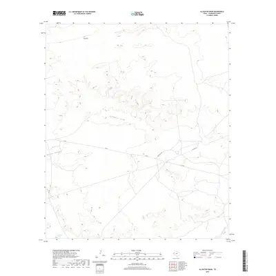
2019 Map of Alligator Draw
USGS Topo · Published 2019About this map
Yeso Hills rise above the high desert floor in this western portion of Culberson County, defining a landscape marked by deep drainage patterns and arid terrain. The namesake Alligator Draw cuts across the center of the sheet, while the Delaware River winds through the southeastern corner. Historical water sources are evidenced by the presence of Delaware Springs in the southwest, a critical landmark in this dry environment. Modern infrastructure is represented by a network of ranching and utility roads, including Fm 652, Ranch Rd 1165, and the aptly named Pipeline Rd. The topography is further characterized by Rector Canyon, which provides a glimpse into the geological erosion that has shaped this part of the Trans-Pecos region.
Find a feature on this map
9 named features on this map. Tap any name to fly to it.
Don’t see what you’re looking for? This feature index may not catch every label — zoom into the map to look around manually.
Map Details
Editions of this 2019 Alligator Draw Map
This is the sole edition of this map. No revisions or reprints were ever made.
Other maps of this area

1940 · Carlsbad Caverns West
USGS Topo · 1:62,500

1943 · Carlsbad Caverns West
USGS Topo · 1:62,500

1945 · Carlsbad Caverns East
USGS Topo · 1:62,500

1947 · Carlsbad Caverns East
USGS Topo · 1:62,500

1954 · Carlsbad
USGS Topo · 1:250,000

1954 · Van Horn
USGS Topo · 1:250,000

1958 · Van Horn
USGS Topo · 1:250,000

1958 · Carlsbad
USGS Topo · 1:250,000

1973 · Cow Mountain
USGS Topo · 1:24,000

1973 · Delaware Spring
USGS Topo · 1:24,000