
1978 Map of Allison
USGS Topo · Published 1979About this map
The North Fork Solomon River meanders across this landscape, defining the topography of the Decatur Co Sheridan Co boundary during the late 1970s. This agricultural and industrial region is characterized by an active Oil Field and numerous extraction sites, including a Sandpit and several Gravel Pits. The small settlement of Allison sits in the northeast, serving as a focal point for the surrounding rural townships. Local heritage is rooted in landmarks like the McGraw Ch and Adell Cem, which provide essential points of reference for genealogists tracing family histories in these Kansas plains. The map illustrates the 20th-century transition of the area, where traditional farming coexists with a network of wells and resource extraction sites that shaped the local economy.
Find a feature on this map
12 named features on this map. Tap any name to fly to it.
Don’t see what you’re looking for? This feature index may not catch every label — zoom into the map to look around manually.
Map Details
Editions of this 1978 Allison Map
This is the sole edition of this map. No revisions or reprints were ever made.
Other maps of this area

1954 · Goodland
USGS Topo · 1:250,000

1956 · Goodland
USGS Topo · 1:250,000

1957 · Goodland
USGS Topo · 1:250,000

1978 · Clayton SW
USGS Topo · 1:24,000

1978 · Clayton
USGS Topo · 1:24,000
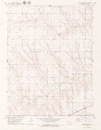
1978 · Dresden North
USGS Topo · 1:24,000
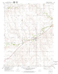
1978 · Jennings
USGS Topo · 1:24,000

1978 · Dresden South
USGS Topo · 1:24,000

1979 · Lucerne
USGS Topo · 1:24,000

1979 · Hoxie NE
USGS Topo · 1:24,000