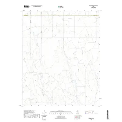
2019 Map of Allison SW
USGS Topo · Published 2019About this map
Zybach Cem sits just south of the Hemphill County and Wheeler County line, anchoring a landscape of intermittent stream beds and small water bodies in the Texas Panhandle. The terrain is defined by the branching networks of Goodin Cr, Coburn Cr, and Hackberry Cr, which carve through the high plains. In the central and southern portions of the map, Domer Reed Lake and Ed Unsen Lake represent essential water management in this cattle-ranching region, where water sources like Rathjen Springs have long dictated the placement of roads and homesteads. The survey illustrates a rural grid dominated by county roads and ranch-to-market routes like FM 1046, reflecting the persistent agricultural character of the area where the Wheeler and Hemphill county borders meet.
Find a feature on this map
26 named features on this map. Tap any name to fly to it.
Don’t see what you’re looking for? This feature index may not catch every label — zoom into the map to look around manually.
Map Details
Editions of this 2019 Allison SW Map
This is the sole edition of this map. No revisions or reprints were ever made.
Other maps of this area

1954 · Amarillo
USGS Topo · 1:250,000

1958 · Amarillo
USGS Topo · 1:250,000

1962 · Wheeler
USGS Topo · 1:24,000

1963 · Allison
USGS Topo · 1:24,000

1963 · Kelton
USGS Topo · 1:24,000

1963 · Kelton NW
USGS Topo · 1:24,000

1963 · Briscoe
USGS Topo · 1:24,000

1963 · Allison SW
USGS Topo · 1:24,000

1967 · Dads Creek
USGS Topo · 1:24,000

1967 · Hackberry Creek
USGS Topo · 1:24,000