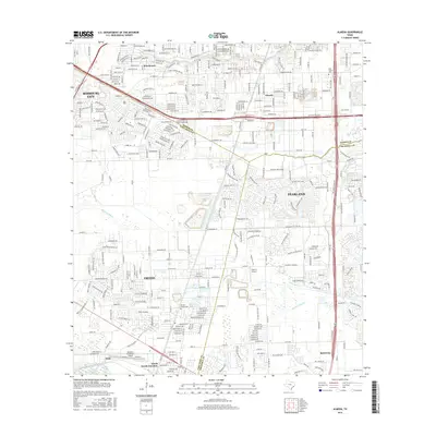
2016 Map of Almeda
USGS Topo · Published 2016About this map
Sims Bayou and Mustang Bayou define the drainage of this suburbanizing landscape at the intersection of Harris, Brazoria, and Fort Bend counties. Historically distinct communities like Almeda and Fresno appear alongside growing residential corridors and the critical transportation hubs of Houston- Southwest Airport and the smaller Flyin' B Airport. The map documents a period of significant growth where the established rail landscape of Arcola Junction and the older Arcola- Fresno Cem meet the expanding reach of the Sam Houston Pkwy. For family historians, landmarks such as Beth Jacob Cem and the settlement of Winchester provide essential reference points for tracing the evolution of these south Houston communities before they were further absorbed by modern development.
Find a feature on this map
25 named features on this map. Tap any name to fly to it.
Don’t see what you’re looking for? This feature index may not catch every label — zoom into the map to look around manually.
Map Details
Editions of this 2016 Almeda Map
This is the sole edition of this map. No revisions or reprints were ever made.
Other maps of this area

1915 · Bellaire
USGS Topo · 1:24,000

1915 · Park Place
USGS Topo · 1:24,000

1915 · Alief
USGS Topo · 1:24,000

1920 · Mykawa
USGS Topo · 1:31,680

1920 · Almeda
USGS Topo · 1:31,680

1921 · Bellaire
USGS Topo · 1:31,680

1922 · Park Place
USGS Topo · 1:31,680

1943 · Juliff
USGS Topo · 1:31,680

1950 · Houston
USGS Topo · 1:250,000

1953 · Thompsons
USGS Topo · 1:24,000