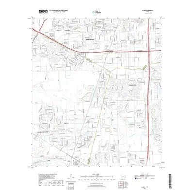
2019 Map of Almeda
USGS Topo · Published 2019About this map
Houston’s southern expansion meets the coastal prairie landscape in this detailed 2019 survey of Harris, Fort Bend, and Brazoria counties. The map illustrates a complex transition from dense urban development near Winchester and Almeda to the sprawling residential footprints of Pearland and Fresno. Regional aviation is well-represented by the Houston-Southwest Airport and the uniquely named Flyin' B Airport, reflecting the area's open geography.
Find a feature on this map
23 named features on this map. Tap any name to fly to it.
Don’t see what you’re looking for? This feature index may not catch every label — zoom into the map to look around manually.
Map Details
Editions of this 2019 Almeda Map
This is the sole edition of this map. No revisions or reprints were ever made.
Other maps of this area

1915 · Bellaire
USGS Topo · 1:24,000

1915 · Park Place
USGS Topo · 1:24,000

1915 · Alief
USGS Topo · 1:24,000

1920 · Mykawa
USGS Topo · 1:31,680

1920 · Almeda
USGS Topo · 1:31,680

1921 · Bellaire
USGS Topo · 1:31,680

1922 · Park Place
USGS Topo · 1:31,680

1943 · Juliff
USGS Topo · 1:31,680

1950 · Houston
USGS Topo · 1:250,000

1953 · Thompsons
USGS Topo · 1:24,000