
2022 Map of Almeda
USGS Topo · Published 2022About this map
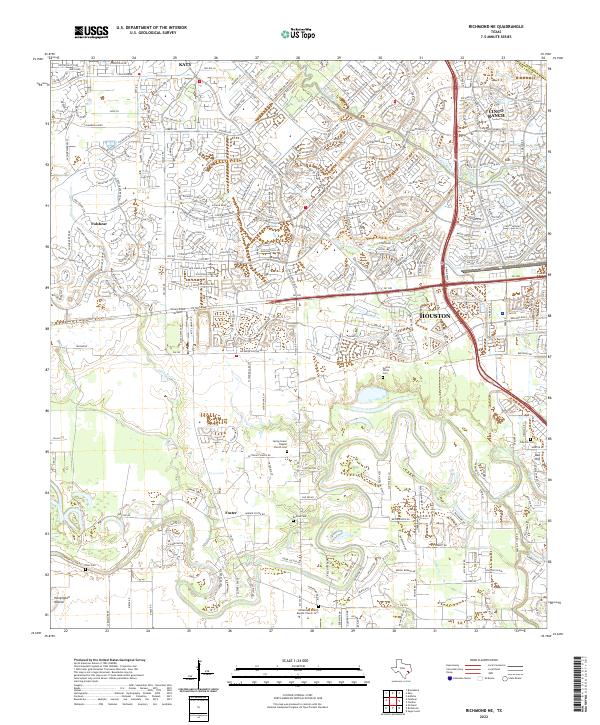
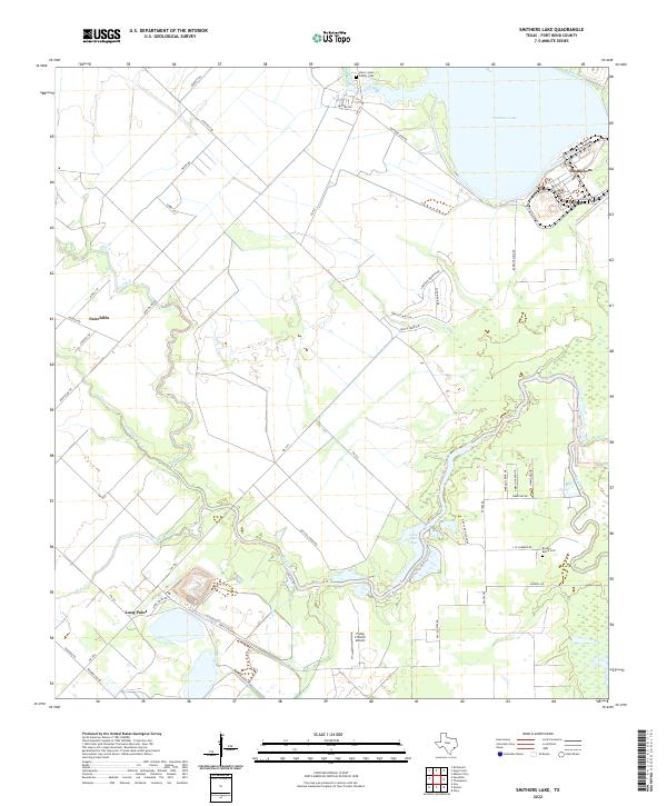
Houston and its southern neighboring communities define this modern landscape where the coastal prairie meets expanding suburban corridors. The map documents the intricate street networks and water management systems near the junction of Harris, Fort Bend, and Brazoria counties. Local heritage is preserved in sites like the Almeda Cem and the Arcola - Fresno Cem, which stand as quiet anchors amidst rapid development. The drainage patterns of Sims Bayou and Mustang Bayou continue to dictate the local topography, influencing the layout of communities from Winchester to Fresno. Significant regional transportation hubs, including the Houston/Southwest Airport and major thoroughfares like the Sam Houston Pkwy, highlight the area's role as a vital junction between the metropolitan center and the outlying towns of Arcola and Manvel.
Find a feature on this map
26 named features on this map. Tap any name to fly to it.
Don’t see what you’re looking for? This feature index may not catch every label — zoom into the map to look around manually.
Map Details
Editions of this 2022 Almeda Map
This is the sole edition of this map. No revisions or reprints were ever made.
Historical Maps of Palmetto Through Time
17 maps found

1915 Clodine
Fort Bend County, TX
1919 Clodine
Fort Bend County, TX
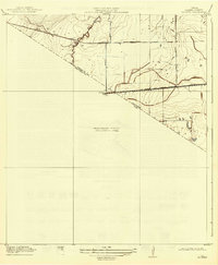
1920 Almeda
Fort Bend County, TX
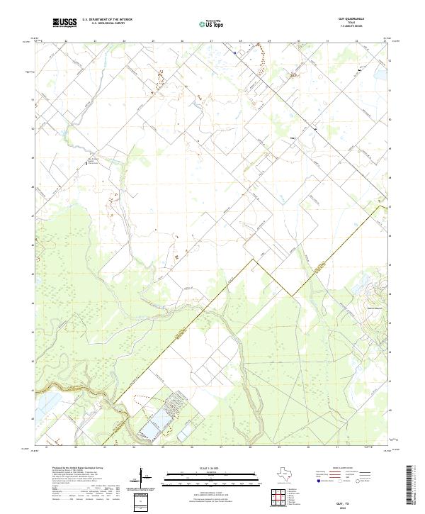
1953 Guy
Fort Bend County, TX
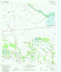
1953 Smithers Lake
Fort Bend County, TX
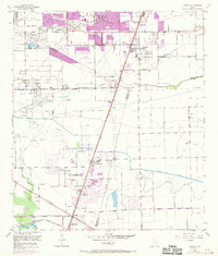
1955 Almeda
Fort Bend County, TX

1970 Clodine
Fort Bend County, TX
1971 Richmond NE
Fort Bend County, TX

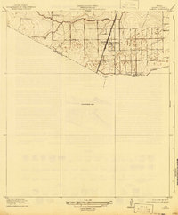
1982 Almeda
Fort Bend County, TX

1982 Clodine
Fort Bend County, TX

1995 Almeda
Fort Bend County, TX

1995 Clodine
Fort Bend County, TX
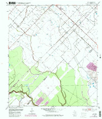
2022 Almeda
Fort Bend County, TX

2022 Clodine
Fort Bend County, TX
2022 Guy
Fort Bend County, TX
2022 Richmond NE
Fort Bend County, TX
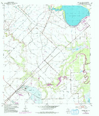
2022 Smithers Lake
Fort Bend County, TX