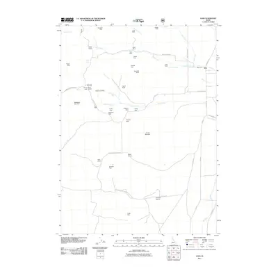
2011 Map of Almo
USGS Topo · Published 2011About this map
Graham Peak and Mahogany Mountain anchor a landscape defined by dramatic geological formations within the City of Rocks Natl Reserve. This 2011 survey documents a region where the settlement of Almo sits at the junction of Almo Creek and Graham Creek, surrounded by uniquely named landmarks like Elephant Rock, Camel Rock, and the Twin Sisters. The map illustrates the historical significance of the area's geography, tracing the route through Emigrant Canyon and over Pinnacle Pass. These natural features provided vital navigation points for travelers, as evidenced by Register Rock and Treasure Rock. The drainage patterns of Circle Creek and Lone Rock Creek flow eastward toward the Raft River, while established local roads like City of Rocks Rd and S Elba Almo Rd link the ranches and recreational sites of Cassia County.
Find a feature on this map
50 named features on this map. Tap any name to fly to it.
Don’t see what you’re looking for? This feature index may not catch every label — zoom into the map to look around manually.
Map Details
Editions of this 2011 Almo Map
This is the sole edition of this map. No revisions or reprints were ever made.
Other maps of this area

1954 · Pocatello
USGS Topo · 1:250,000

1954 · Brigham City
USGS Topo · 1:250,000

1958 · Pocatello
USGS Topo · 1:250,000

1958 · Brigham City
USGS Topo · 1:250,000

1959 · Cotton Thomas Basin
USGS Topo · 1:62,500

1959 · Yost
USGS Topo · 1:62,500

1962 · Brigham City
USGS Topo · 1:250,000

1968 · Almo
USGS Topo · 1:24,000

1968 · Cache Peak
USGS Topo · 1:24,000

1968 · Basin
USGS Topo · 1:24,000