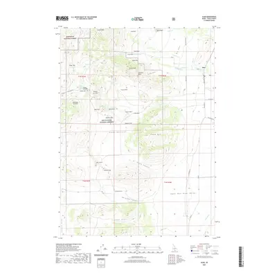
2020 Map of Almo
USGS Topo · Published 2020About this map
Almo serves as a gateway to the high-elevation landscape of the Albion Mountains, where granite spires and monoliths define the terrain of the City of Rocks National Reserve. The map details a complex geological and historical corridor, tracing the natural passage through Emigrant Canyon and over Pinnacle Pass. These features were significant landmarks for travelers moving through the Upper Raft River Valley, with specific formations like Register Rock and Bath Rock noted alongside the more utilitarian Parking Lot Rock.
Find a feature on this map
61 named features on this map. Tap any name to fly to it.
Don’t see what you’re looking for? This feature index may not catch every label — zoom into the map to look around manually.
Map Details
Editions of this 2020 Almo Map
This is the sole edition of this map. No revisions or reprints were ever made.
Other maps of this area

1954 · Pocatello
USGS Topo · 1:250,000

1954 · Brigham City
USGS Topo · 1:250,000

1958 · Pocatello
USGS Topo · 1:250,000

1958 · Brigham City
USGS Topo · 1:250,000

1959 · Cotton Thomas Basin
USGS Topo · 1:62,500

1959 · Yost
USGS Topo · 1:62,500

1962 · Brigham City
USGS Topo · 1:250,000

1968 · Almo
USGS Topo · 1:24,000

1968 · Cache Peak
USGS Topo · 1:24,000

1968 · Basin
USGS Topo · 1:24,000