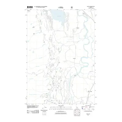
2011 Map of Alpha
USGS Topo · Published 2011About this map
The North Fork Payette River winds through the heart of Long Valley, anchoring a landscape defined by the expansive Lake Cascade and the scattered rural communities of central Idaho. This 2011 survey illustrates the transition from high-elevation peaks like Collier Peak and Grassy Flat down into the fertile valley floor. Significant local infrastructure is prominent, including the Cascade Municipal Airport in the northeast and Skein Lake Dam to the west. The settlement of Alpha serves as a cultural waypoint, evidenced by the Alpha Grange and the Lower Alpha School, while the rail and road corridor through Cabarton and Belvidere tracks the historical movement of timber and travelers through this river system. A complex network of Forest Service and local roads, such as Snow Bank Mtn Rd and Cabarton High Valley Rd, provides access to the numerous drainages including Brush Creek and Fawn Creek.
Find a feature on this map
38 named features on this map. Tap any name to fly to it.
Don’t see what you’re looking for? This feature index may not catch every label — zoom into the map to look around manually.
Map Details
Editions of this 2011 Alpha Map
This is the sole edition of this map. No revisions or reprints were ever made.
Other maps of this area

1894 · Squaw Creek
USGS Topo · 1:125,000

1909 · Garden Valley
USGS Topo · 1:125,000

1911 · Meadows
USGS Topo · 1:125,000

1953 · Smiths Ferry
USGS Topo · 1:62,500

1953 · Boiling Springs
USGS Topo · 1:62,500

1954 · Gold Fork
USGS Topo · 1:62,500

1954 · Cascade
USGS Topo · 1:62,500

1955 · Baker
USGS Topo · 1:250,000

1957 · Challis
USGS Topo · 1:250,000

1959 · Baker
USGS Topo · 1:250,000