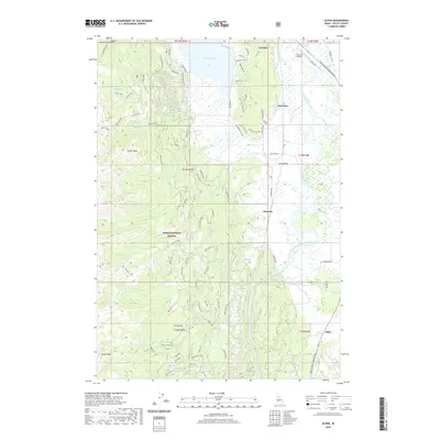
2020 Map of Alpha
USGS Topo · Published 2020About this map
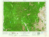
Lake Cascade and the North Fork Payette River anchor this 2020 landscape in Valley County, Idaho. The town of Cascade sits along the northern edge, supported by the Cascade Airport and the Payette River Scenic Byway. The topography transitions from the open waters and the agricultural stretches of Long Valley into the high elevations of the Boise National Forest. To the west, the terrain rises sharply toward West Mountain, where peaks like Collier Peak and Tripod Peak overlook numerous high-country water bodies, including Skein Lake, Raft Lake, and the Willow Cr Reservoir. Small historic clusters such as Belvidere, Cabarton, and Alpha are located along the eastern valley floor, marking the corridor where rail and road routes follow the river's path through the mountain meadows.
Find a feature on this map
60 named features on this map. Tap any name to fly to it.
Don’t see what you’re looking for? This feature index may not catch every label — zoom into the map to look around manually.
Map Details
Editions of this 2020 Alpha Map
This is the sole edition of this map. No revisions or reprints were ever made.
Other maps of this area
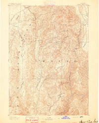
1894 · Squaw Creek
USGS Topo · 1:125,000
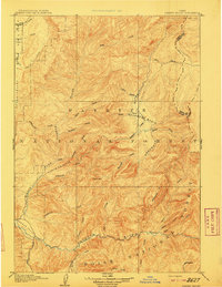
1909 · Garden Valley
USGS Topo · 1:125,000
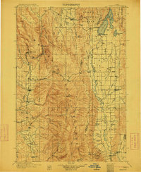
1911 · Meadows
USGS Topo · 1:125,000
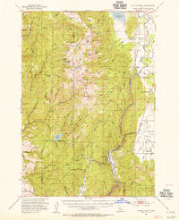
1953 · Smiths Ferry
USGS Topo · 1:62,500
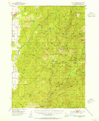
1953 · Boiling Springs
USGS Topo · 1:62,500
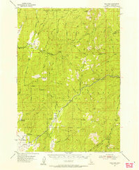
1954 · Gold Fork
USGS Topo · 1:62,500
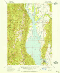
1954 · Cascade
USGS Topo · 1:62,500

1955 · Baker
USGS Topo · 1:250,000
1957 · Challis
USGS Topo · 1:250,000

1959 · Baker
USGS Topo · 1:250,000