Loading...
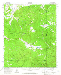
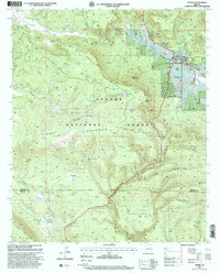
Loading map...1958 Map of Alpine
USGS Topo · Published 1966About this map
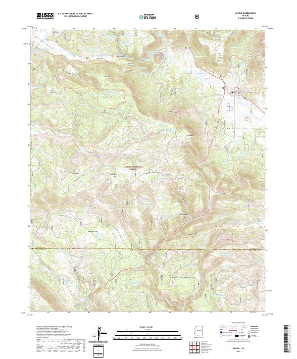
The high high country of the Apache National Forest dominates this mid-century survey, centered on the mountain settlement of Alpine. The landscape is defined by its high-altitude water systems, including the headwaters of the San Francisco River and Luna Lake, where a spillway is clearly marked. Settlement patterns are concentrated along the winding paths of U. S. Route 666 and U. S. Route 260, connecting remote outposts like Nutrioso and the White Mountain Boys Ranch.
Find a feature on this map
73 named features on this map. Tap any name to fly to it.
Don’t see what you’re looking for? This feature index may not catch every label — zoom into the map to look around manually.
Map Details
Date Portrayed1958
Date Published1966
PublisherU.S. Geological Survey
Map TypeTopographic
Scale1:62,500
Physical Dimensions17 x 20.8 inches
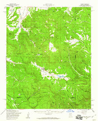
Editions of this 1958 Alpine Map
3 editions found
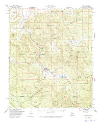
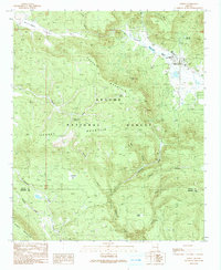
Historical Maps of Alpine Through Time
7 maps found
Featured Locations
Source Details
SourceU.S. Geological Survey
CopyrightPublic Domain