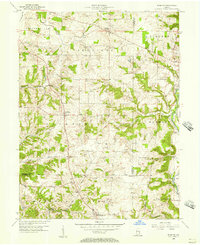
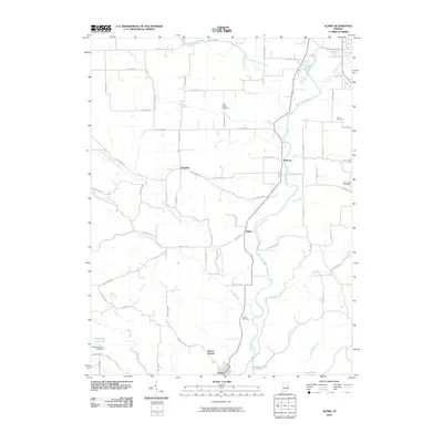
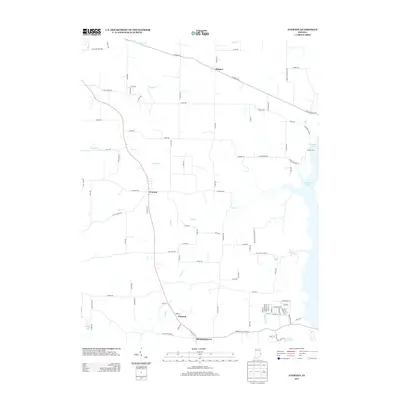
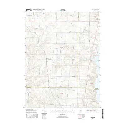
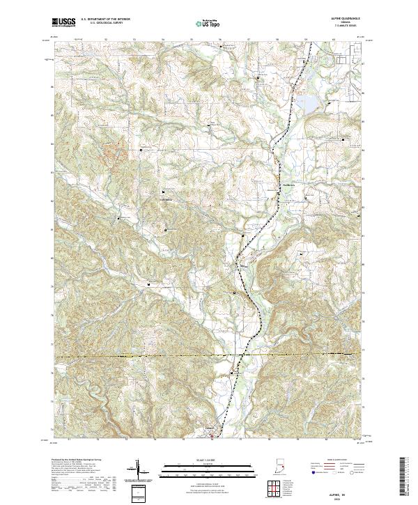
1971 Map of Alpine
USGS Topo · Published 1973About this map
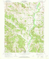
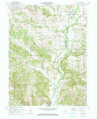
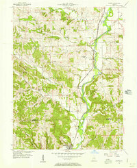
The Whitewater River carves a deep valley through the eastern portion of this landscape, serving as a primary corridor for both transportation and industry in the early 1970s. The Penn Central railroad parallels the river's path, connecting the small settlements of Nulltown, Alpine, and Laurel. The terrain is marked by numerous drainage systems like Garrison Creek and Williams Creek, which have dissected the plateau into a series of ridges and hollows.
Find a feature on this map
33 named features on this map. Tap any name to fly to it.
Don’t see what you’re looking for? This feature index may not catch every label — zoom into the map to look around manually.
Map Details
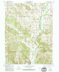
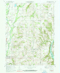
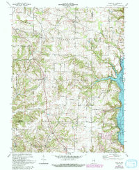
Editions of this 1971 Alpine Map
3 editions found
Historical Maps of Columbia Through Time
21 maps found
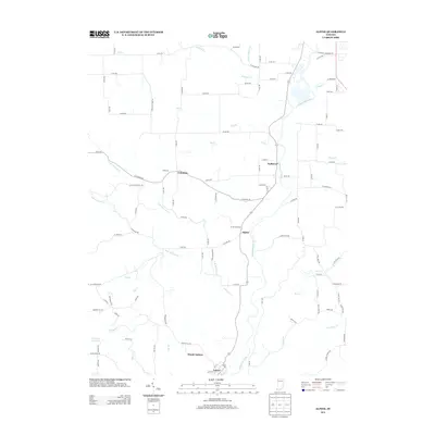
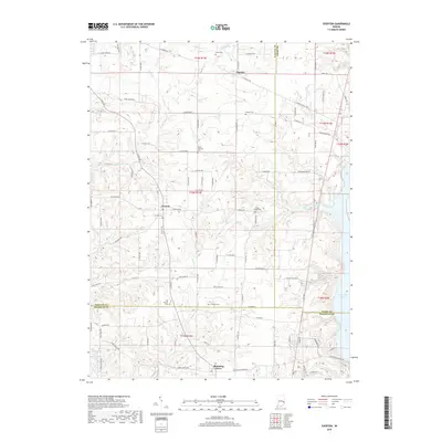
1956 Alpine
Fayette County, IN
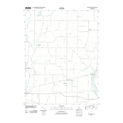
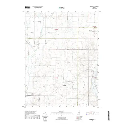
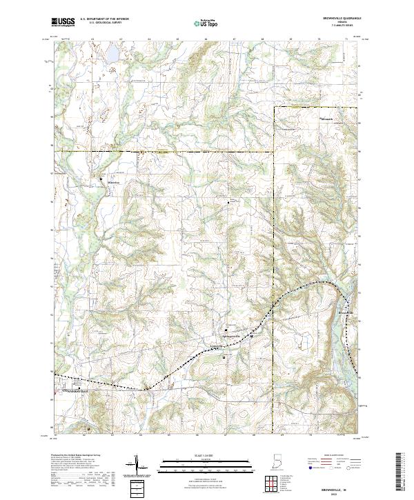
1956 Brownsville
Fayette County, IN
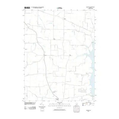
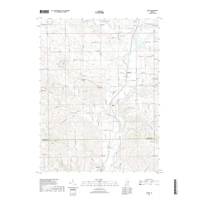
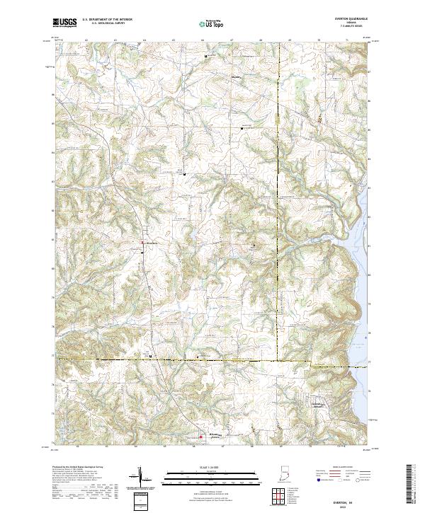
1956 Everton
Fayette County, IN
1971 Alpine
Fayette County, IN
1972 Brownsville
Fayette County, IN
1972 Everton
Fayette County, IN
2010 Alpine
Fayette County, IN
2010 Brownsville
Fayette County, IN
2010 Everton
Fayette County, IN
2013 Alpine
Fayette County, IN
2013 Brownsville
Fayette County, IN
2013 Everton
Fayette County, IN
2016 Alpine
Fayette County, IN
2016 Brownsville
Fayette County, IN
2016 Everton
Fayette County, IN
2019 Alpine
Fayette County, IN
2019 Brownsville
Fayette County, IN
2019 Everton
Fayette County, IN
2022 Alpine
Fayette County, IN
2022 Brownsville
Fayette County, IN
2022 Everton
Fayette County, IN