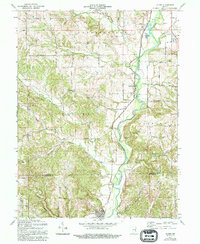
1971 Map of Alpine
USGS Topo · Published 1994About this map
The Whitewater River carves a deep valley through this rural landscape on the border of Fayette and Franklin Counties. In the early 1970s, the Conrail line followed the river's western bank, serving small valley communities like Nulltown and Alpine. The topography is defined by sharp ridges and deep stream incisions, with Garrison Creek and Bear Creek flowing eastward toward the primary river corridor.
Find a feature on this map
44 named features on this map. Tap any name to fly to it.
Don’t see what you’re looking for? This feature index may not catch every label — zoom into the map to look around manually.
Map Details
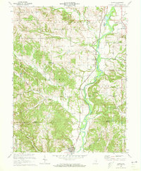
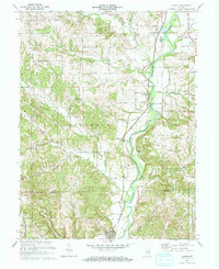
Editions of this 1971 Alpine Map
3 editions found
Other maps of this area

1953 · Cincinnati
USGS Topo · 1:250,000

1956 · Everton
USGS Topo · 1:24,000

1956 · Alpine
USGS Topo · 1:24,000

1956 · Brownsville
USGS Topo · 1:24,000

1956 · Metamora
USGS Topo · 1:24,000

1956 · Connersville
USGS Topo · 1:24,000

1956 · Brookville
USGS Topo · 1:24,000

1957 · Cincinnati
USGS Topo · 1:250,000

1958 · Clarksburg
USGS Topo · 1:24,000

1959 · New Salem
USGS Topo · 1:24,000