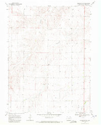
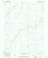
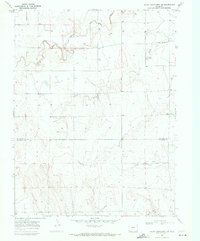
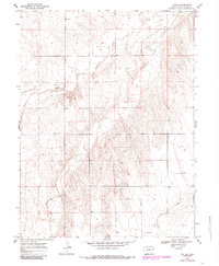
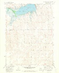
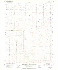
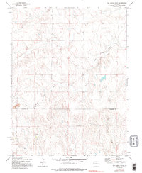
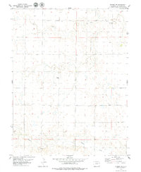
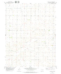
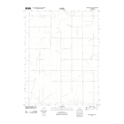
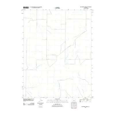
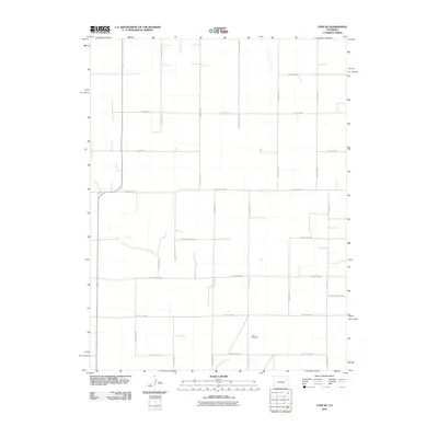
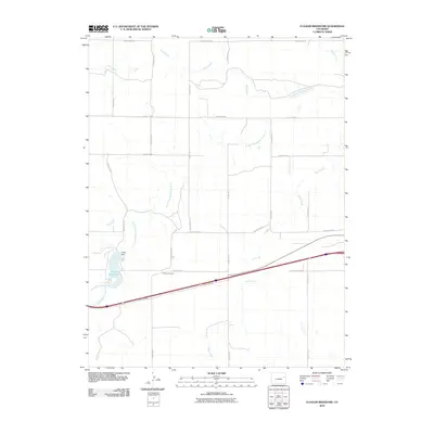
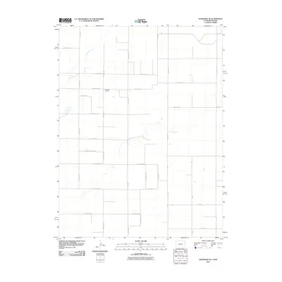
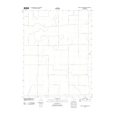
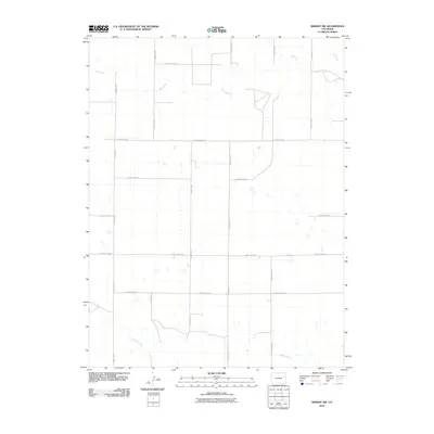
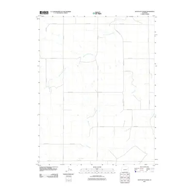
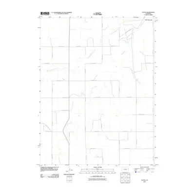
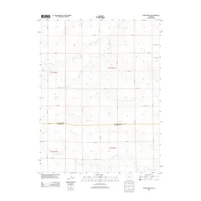
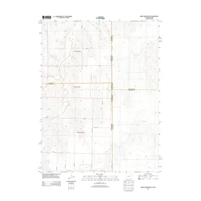
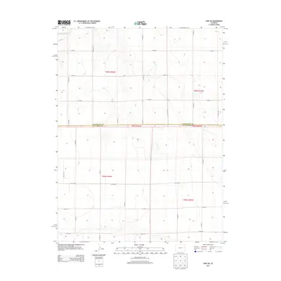
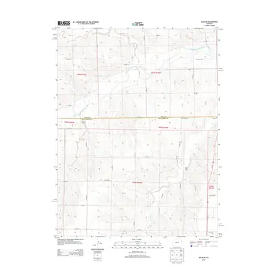
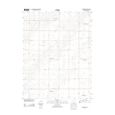
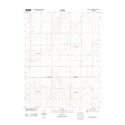
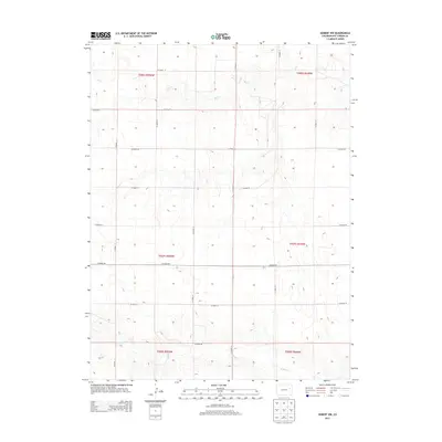
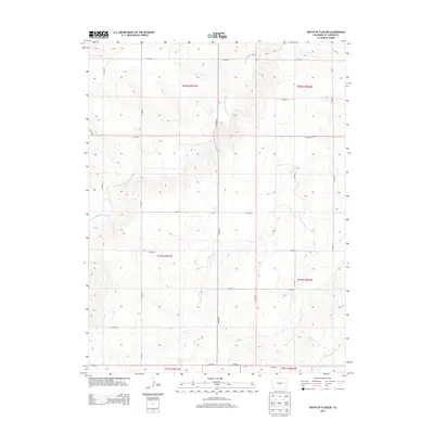
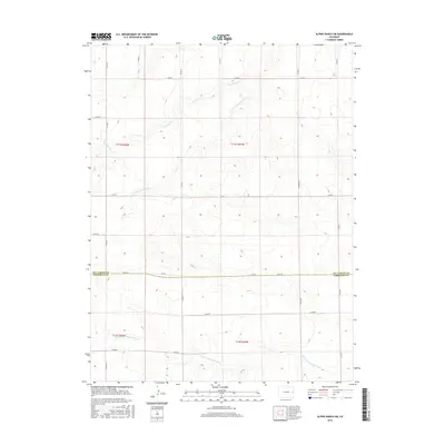
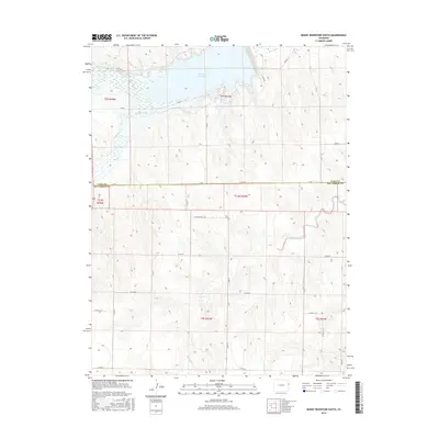
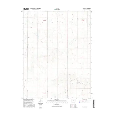
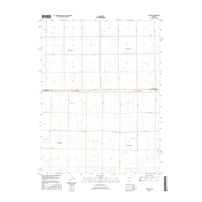
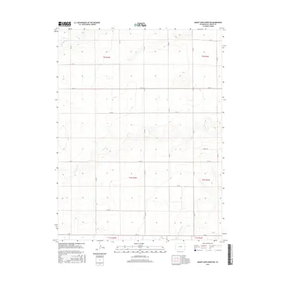
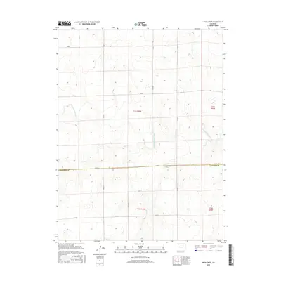
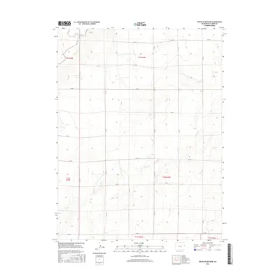
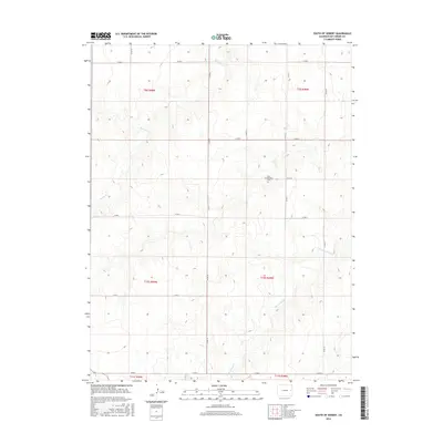
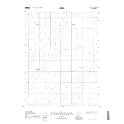
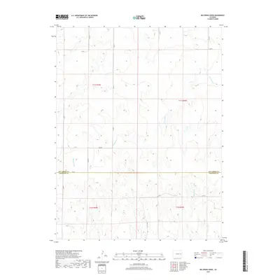
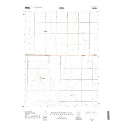
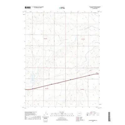
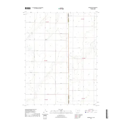
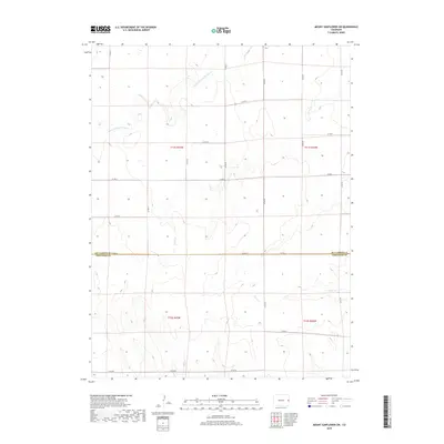
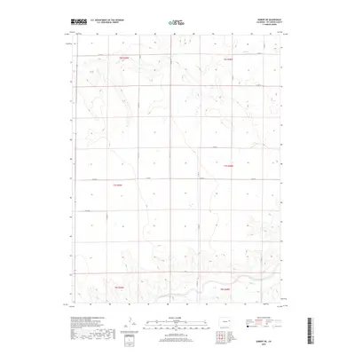
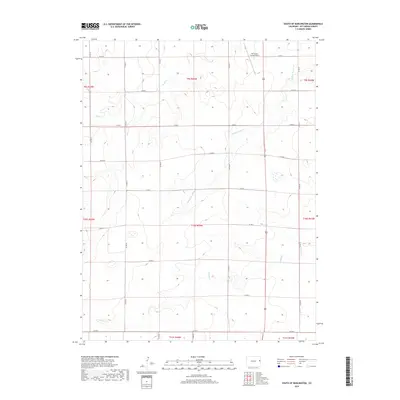
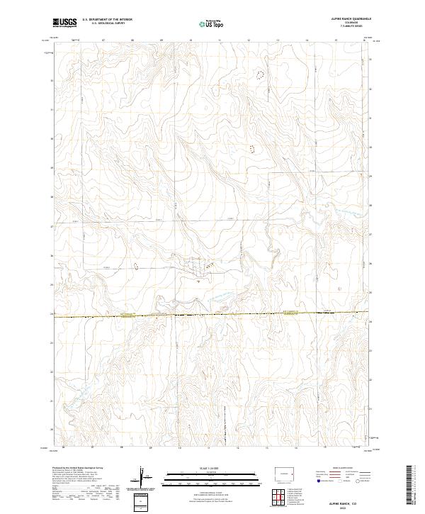
1969 Map of Alpine Ranch
USGS Topo · Published 1972About this map
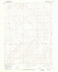
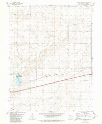
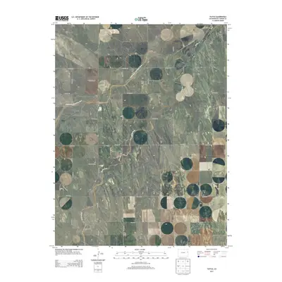
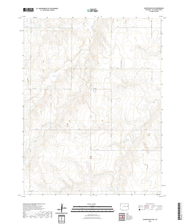
Alpine Ranch and the tiny outpost of Perry define the human footprint on this high plains landscape at the end of the 1960s. Located along the boundary of Kit Carson and Cheyenne Counties, the terrain is carved by the intermittent drainage of the North Fork Smoky Hill River and its tributary Cow Creek. The map documents a sparsely populated ranching and energy-producing area where isolated Well sites and a Gas Well punctuate the vast grid. Surveyed before modern large-scale irrigation transformed much of eastern Colorado, the map preserves the exact placement of local infrastructure, from a lonely Radio Tower to a Gravel Pit, offering a detailed view of the region's agricultural and industrial utility during the late Vietnam era.
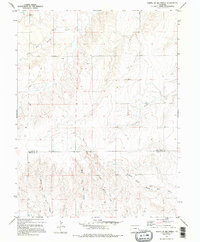
Find a feature on this map
9 named features on this map. Tap any name to fly to it.
Don’t see what you’re looking for? This feature index may not catch every label — zoom into the map to look around manually.
Map Details
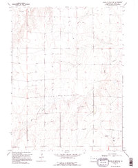
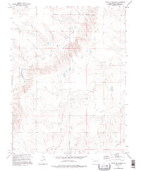
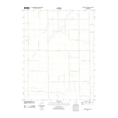
Editions of this 1969 Alpine Ranch Map
This is the sole edition of this map. No revisions or reprints were ever made.
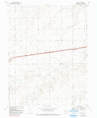
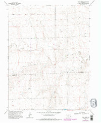
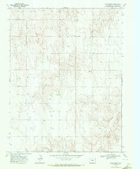
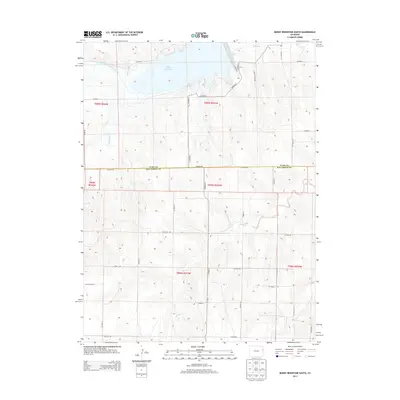
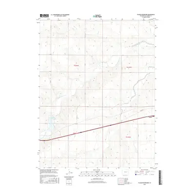
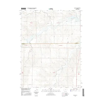
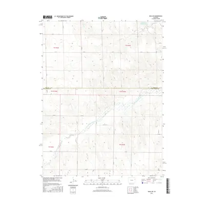
Historical Maps of Kit Carson County Through Time
218 maps found
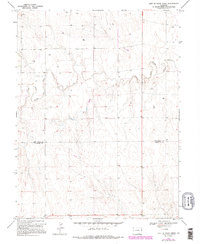
1969 Alpine Ranch
Kit Carson County, CO
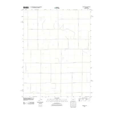
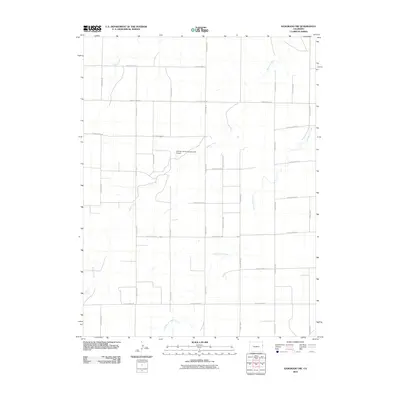
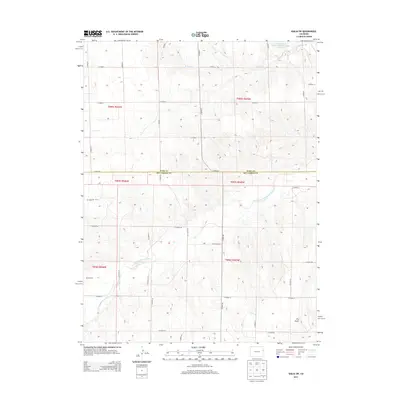
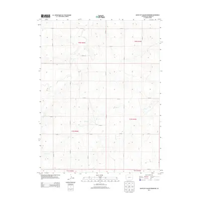
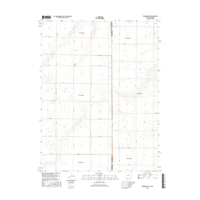
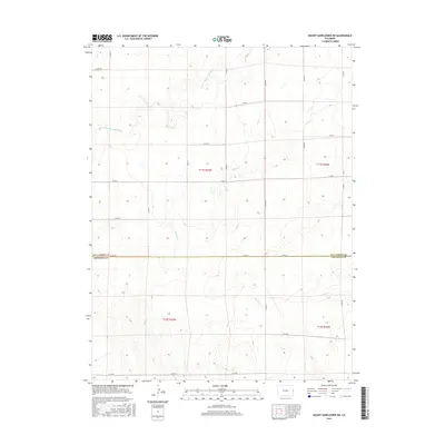
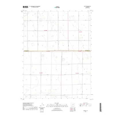
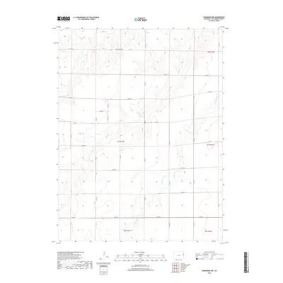
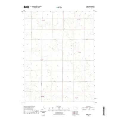
1969 Alpine Ranch NE
Kit Carson County, CO
1969 Burlington 3 NE
Kit Carson County, CO
1969 Burlington 3 NW
Kit Carson County, CO
1969 Burlington NE
Kit Carson County, CO
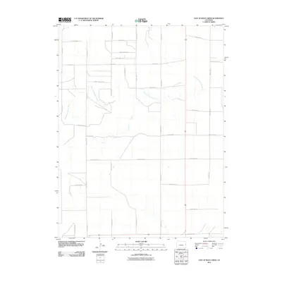
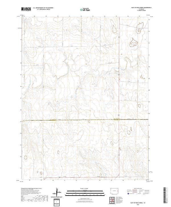
1969 East Of Rock Creek
Kit Carson County, CO
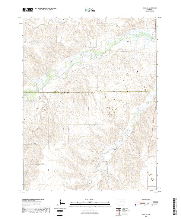
1969 Idalia SE
Kit Carson County, CO
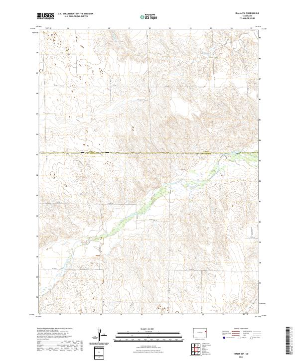
1969 Idalia SW
Kit Carson County, CO
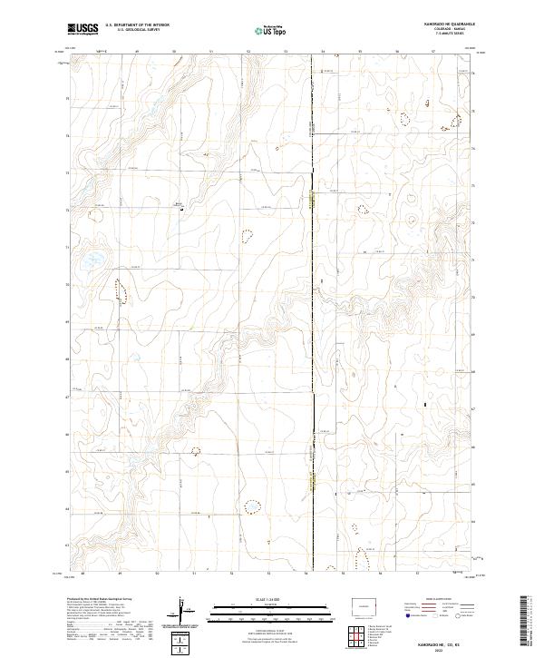
1969 Kanorado NE
Kit Carson County, CO
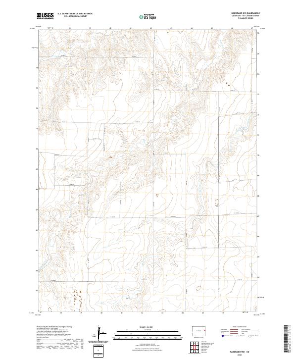
1969 Kanorado NW
Kit Carson County, CO
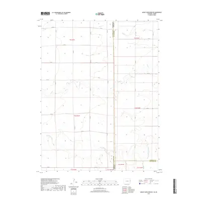
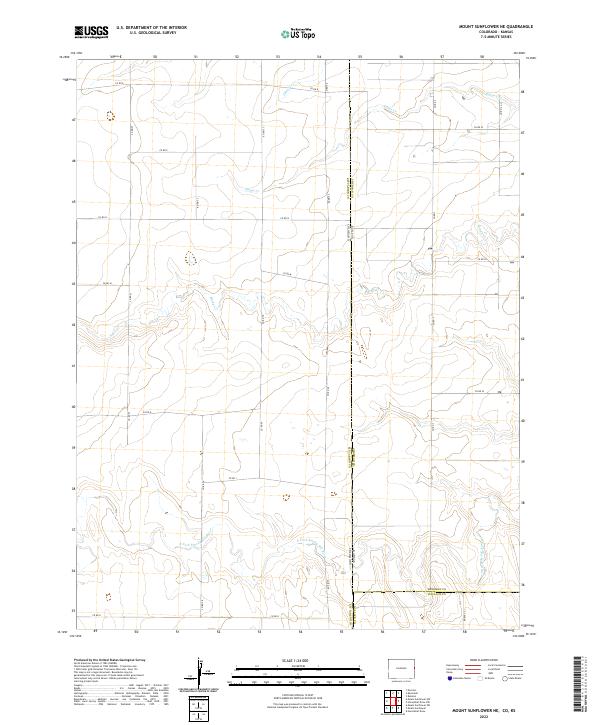
1969 Mount Sunflower NE
Kit Carson County, CO
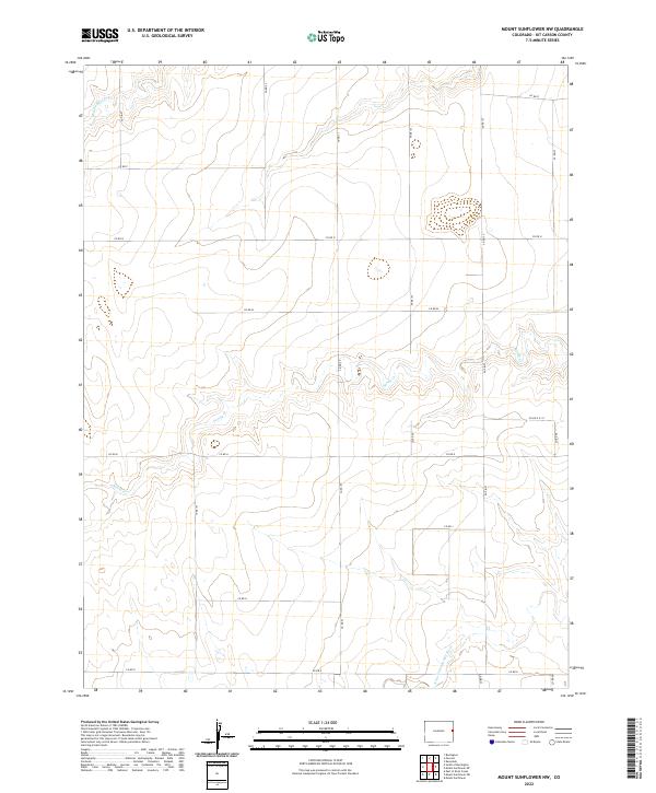
1969 Mount Sunflower NW
Kit Carson County, CO
1969 Mount Sunflower SW
Kit Carson County, CO
1969 Peconic
Kit Carson County, CO
1969 Rock Creek
Kit Carson County, CO
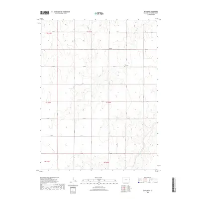
1969 Settlement
Kit Carson County, CO
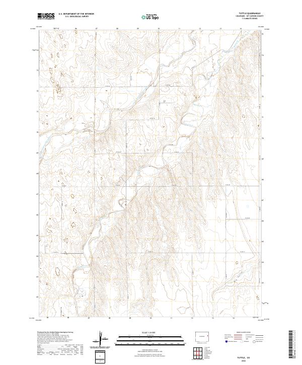
1969 Tuttle
Kit Carson County, CO
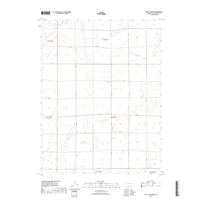
1970 South of Bethune
Kit Carson County, CO
1970 South of Burlington
Kit Carson County, CO
1971 Bonny Reservoir SE
Kit Carson County, CO
1971 Bonny Reservoir South
Kit Carson County, CO
1977 Anton SE
Kit Carson County, CO
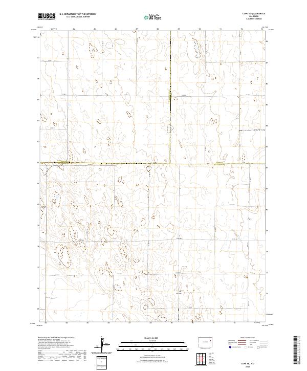
1977 Cope SE
Kit Carson County, CO
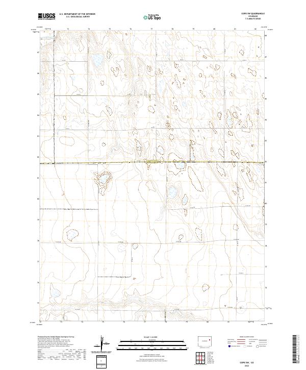
1977 Cope SW
Kit Carson County, CO
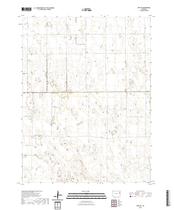
1978 Joes SW
Kit Carson County, CO
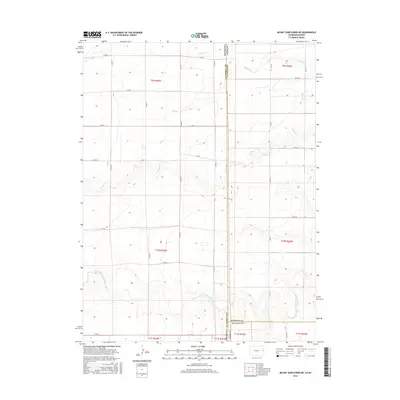
1979 Alpine Ranch NW
Kit Carson County, CO
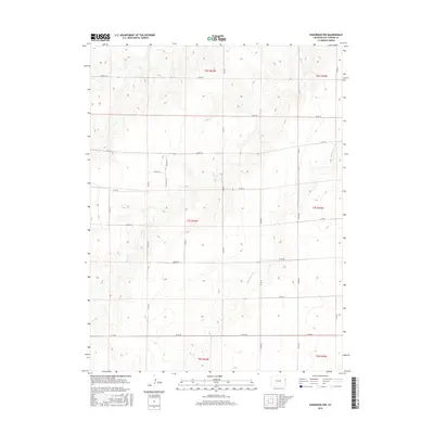
1979 Alpine Ranch SW
Kit Carson County, CO
1979 Bellyache Creek
Kit Carson County, CO
1979 Big Spring Creek
Kit Carson County, CO
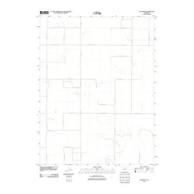
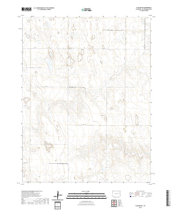
1979 Flagler NE
Kit Carson County, CO
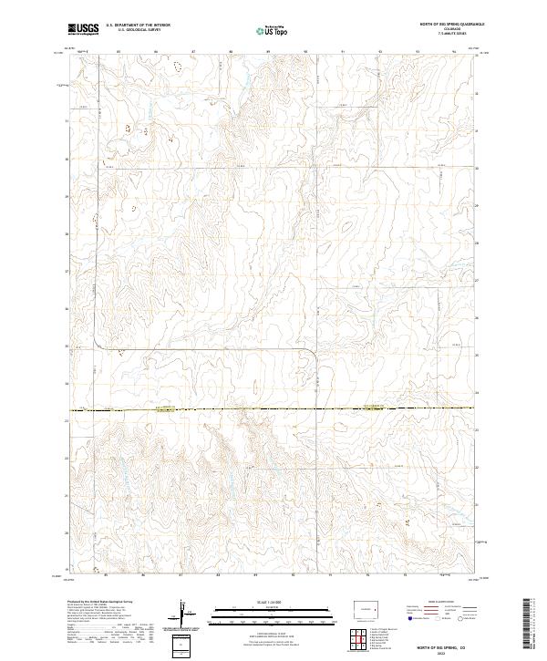
1979 North Of Big Spring
Kit Carson County, CO
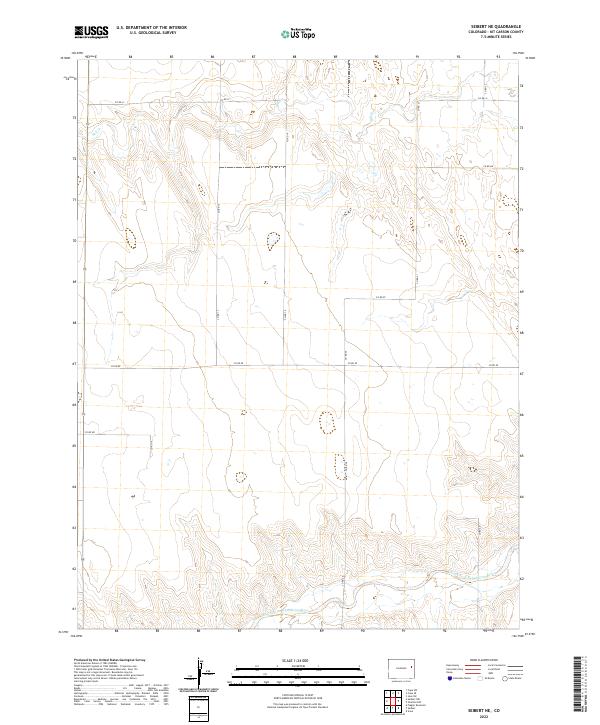
1979 Seibert NE
Kit Carson County, CO
1979 Seibert NW
Kit Carson County, CO
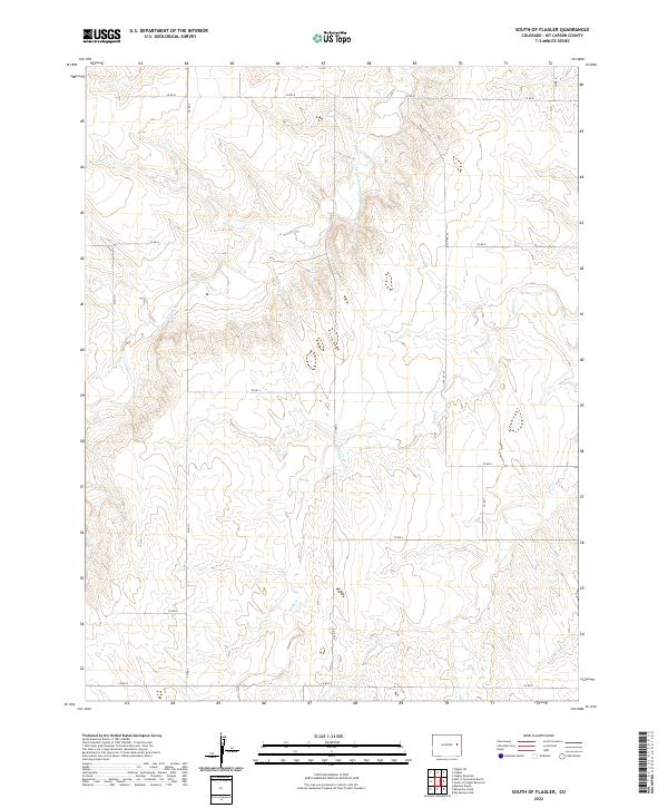
1979 South of Flagler
Kit Carson County, CO
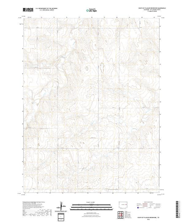
1979 South of Flagler Reservoir
Kit Carson County, CO
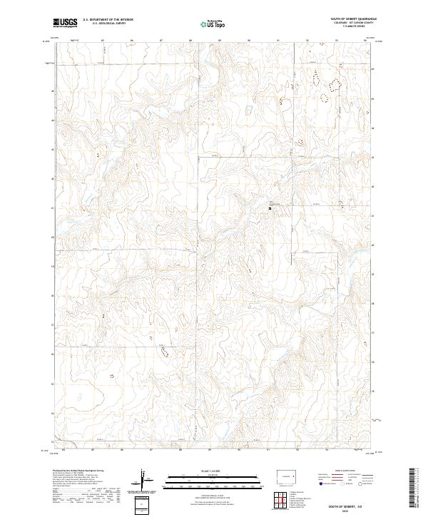
1979 South of Seibert
Kit Carson County, CO
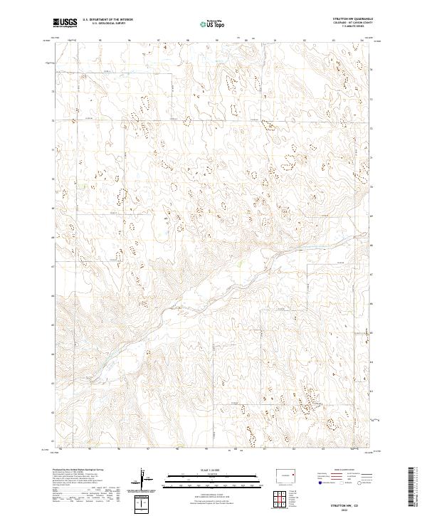
1979 Stratton NW
Kit Carson County, CO
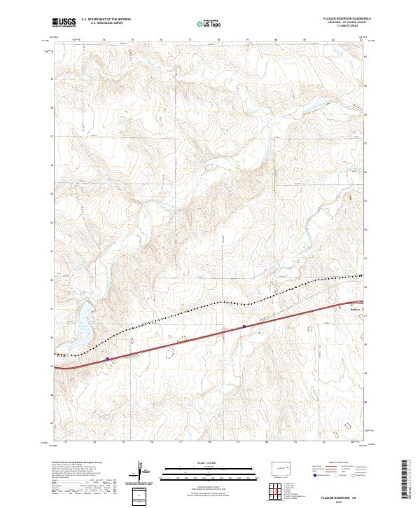
1980 Flagler Reservoir
Kit Carson County, CO
2010 Alpine Ranch
Kit Carson County, CO
2010 Alpine Ranch NE
Kit Carson County, CO
2010 Alpine Ranch NW
Kit Carson County, CO
2010 Alpine Ranch SW
Kit Carson County, CO
2010 Anton SE
Kit Carson County, CO
2010 Bellyache Creek
Kit Carson County, CO
2010 Big Spring Creek
Kit Carson County, CO
2010 Bonny Reservoir SE
Kit Carson County, CO
2010 Bonny Reservoir South
Kit Carson County, CO
2010 Burlington NE
Kit Carson County, CO
2010 Cope SE
Kit Carson County, CO
2010 Cope SW
Kit Carson County, CO
2010 East of Rock Creek
Kit Carson County, CO
2010 Flagler NE
Kit Carson County, CO
2010 Flagler Reservoir
Kit Carson County, CO
2010 Idalia SE
Kit Carson County, CO
2010 Idalia SW
Kit Carson County, CO
2010 Joes SW
Kit Carson County, CO
2010 Kanorado NE
Kit Carson County, CO
2010 Kanorado NW
Kit Carson County, CO
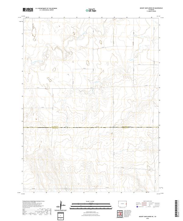
2010 Mount Sunflower NE
Kit Carson County, CO
2010 Mount Sunflower NW
Kit Carson County, CO
2010 Mount Sunflower SW
Kit Carson County, CO
2010 North of Big Spring
Kit Carson County, CO

2010 Peconic
Kit Carson County, CO
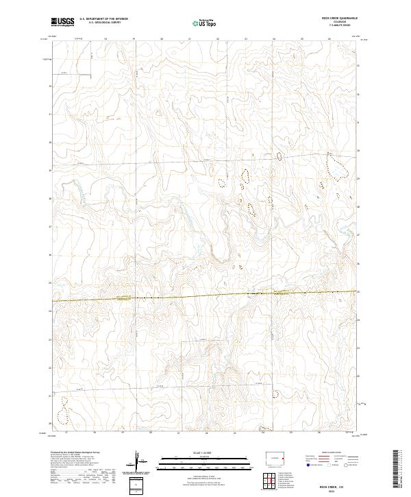
2010 Rock Creek
Kit Carson County, CO
2010 Seibert NE
Kit Carson County, CO
2010 Seibert NW
Kit Carson County, CO
2010 Settlement
Kit Carson County, CO
2010 South of Bethune
Kit Carson County, CO
2010 South of Burlington
Kit Carson County, CO
2010 South of Flagler
Kit Carson County, CO
2010 South of Flagler Reservoir
Kit Carson County, CO
2010 South of Seibert
Kit Carson County, CO
2010 Stratton NW
Kit Carson County, CO
2010 Tuttle
Kit Carson County, CO
2013 Alpine Ranch
Kit Carson County, CO
2013 Alpine Ranch NE
Kit Carson County, CO
2013 Alpine Ranch NW
Kit Carson County, CO
2013 Alpine Ranch SW
Kit Carson County, CO
2013 Anton SE
Kit Carson County, CO
2013 Bellyache Creek
Kit Carson County, CO
2013 Big Spring Creek
Kit Carson County, CO
2013 Bonny Reservoir SE
Kit Carson County, CO
2013 Bonny Reservoir South
Kit Carson County, CO
2013 Burlington NE
Kit Carson County, CO
2013 Cope SE
Kit Carson County, CO
2013 Cope SW
Kit Carson County, CO
2013 East of Rock Creek
Kit Carson County, CO
2013 Flagler NE
Kit Carson County, CO
2013 Flagler Reservoir
Kit Carson County, CO
2013 Idalia SE
Kit Carson County, CO
2013 Idalia SW
Kit Carson County, CO
2013 Joes SW
Kit Carson County, CO
2013 Kanorado NE
Kit Carson County, CO
2013 Kanorado NW
Kit Carson County, CO
2013 Mount Sunflower NE
Kit Carson County, CO
2013 Mount Sunflower NW
Kit Carson County, CO
2013 Mount Sunflower SW
Kit Carson County, CO
2013 North of Big Spring
Kit Carson County, CO
2013 Peconic
Kit Carson County, CO
2013 Rock Creek
Kit Carson County, CO
2013 Seibert NE
Kit Carson County, CO
2013 Seibert NW
Kit Carson County, CO
2013 Settlement
Kit Carson County, CO
2013 South of Bethune
Kit Carson County, CO
2013 South of Burlington
Kit Carson County, CO
2013 South of Flagler
Kit Carson County, CO
2013 South of Flagler Reservoir
Kit Carson County, CO
2013 South of Seibert
Kit Carson County, CO
2013 Stratton NW
Kit Carson County, CO
2013 Tuttle
Kit Carson County, CO
2016 Alpine Ranch
Kit Carson County, CO
2016 Alpine Ranch NE
Kit Carson County, CO
2016 Alpine Ranch NW
Kit Carson County, CO
2016 Alpine Ranch SW
Kit Carson County, CO

2016 Anton SE
Kit Carson County, CO
2016 Bellyache Creek
Kit Carson County, CO
2016 Big Spring Creek
Kit Carson County, CO
2016 Bonny Reservoir SE
Kit Carson County, CO
2016 Bonny Reservoir South
Kit Carson County, CO
2016 Burlington NE
Kit Carson County, CO

2016 Cope SE
Kit Carson County, CO
2016 Cope SW
Kit Carson County, CO
2016 East of Rock Creek
Kit Carson County, CO
2016 Flagler NE
Kit Carson County, CO
2016 Flagler Reservoir
Kit Carson County, CO
2016 Idalia SE
Kit Carson County, CO
2016 Idalia SW
Kit Carson County, CO
2016 Joes SW
Kit Carson County, CO
2016 Kanorado NE
Kit Carson County, CO
2016 Kanorado NW
Kit Carson County, CO
2016 Mount Sunflower NE
Kit Carson County, CO
2016 Mount Sunflower NW
Kit Carson County, CO
2016 Mount Sunflower SW
Kit Carson County, CO
2016 North of Big Spring
Kit Carson County, CO
2016 Peconic
Kit Carson County, CO
2016 Rock Creek
Kit Carson County, CO
2016 Seibert NE
Kit Carson County, CO
2016 Seibert NW
Kit Carson County, CO
2016 Settlement
Kit Carson County, CO
2016 South of Bethune
Kit Carson County, CO
2016 South of Burlington
Kit Carson County, CO
2016 South of Flagler
Kit Carson County, CO
2016 South of Flagler Reservoir
Kit Carson County, CO
2016 South of Seibert
Kit Carson County, CO

2016 Stratton NW
Kit Carson County, CO
2016 Tuttle
Kit Carson County, CO
2019 Alpine Ranch
Kit Carson County, CO
2019 Alpine Ranch NE
Kit Carson County, CO
2019 Alpine Ranch NW
Kit Carson County, CO
2019 Alpine Ranch SW
Kit Carson County, CO
2019 Anton SE
Kit Carson County, CO
2019 Bellyache Creek
Kit Carson County, CO
2019 Big Spring Creek
Kit Carson County, CO
2019 Bonny Reservoir SE
Kit Carson County, CO
2019 Bonny Reservoir South
Kit Carson County, CO
2019 Burlington NE
Kit Carson County, CO
2019 Cope SE
Kit Carson County, CO
2019 Cope SW
Kit Carson County, CO
2019 East of Rock Creek
Kit Carson County, CO
2019 Flagler NE
Kit Carson County, CO
2019 Flagler Reservoir
Kit Carson County, CO
2019 Idalia SE
Kit Carson County, CO
2019 Idalia SW
Kit Carson County, CO
2019 Joes SW
Kit Carson County, CO
2019 Kanorado NE
Kit Carson County, CO
2019 Kanorado NW
Kit Carson County, CO
2019 Mount Sunflower NE
Kit Carson County, CO
2019 Mount Sunflower NW
Kit Carson County, CO
2019 Mount Sunflower SW
Kit Carson County, CO
2019 North of Big Spring
Kit Carson County, CO
2019 Peconic
Kit Carson County, CO
2019 Rock Creek
Kit Carson County, CO
2019 Seibert NE
Kit Carson County, CO
2019 Seibert NW
Kit Carson County, CO
2019 Settlement
Kit Carson County, CO
2019 South of Bethune
Kit Carson County, CO
2019 South of Burlington
Kit Carson County, CO
2019 South of Flagler
Kit Carson County, CO
2019 South of Flagler Reservoir
Kit Carson County, CO
2019 South of Seibert
Kit Carson County, CO
2019 Stratton NW
Kit Carson County, CO
2019 Tuttle
Kit Carson County, CO
2022 Alpine Ranch
Kit Carson County, CO
2022 Alpine Ranch NE
Kit Carson County, CO
2022 Alpine Ranch NW
Kit Carson County, CO
2022 Alpine Ranch SW
Kit Carson County, CO
2022 Anton SE
Kit Carson County, CO
2022 Bellyache Creek
Kit Carson County, CO
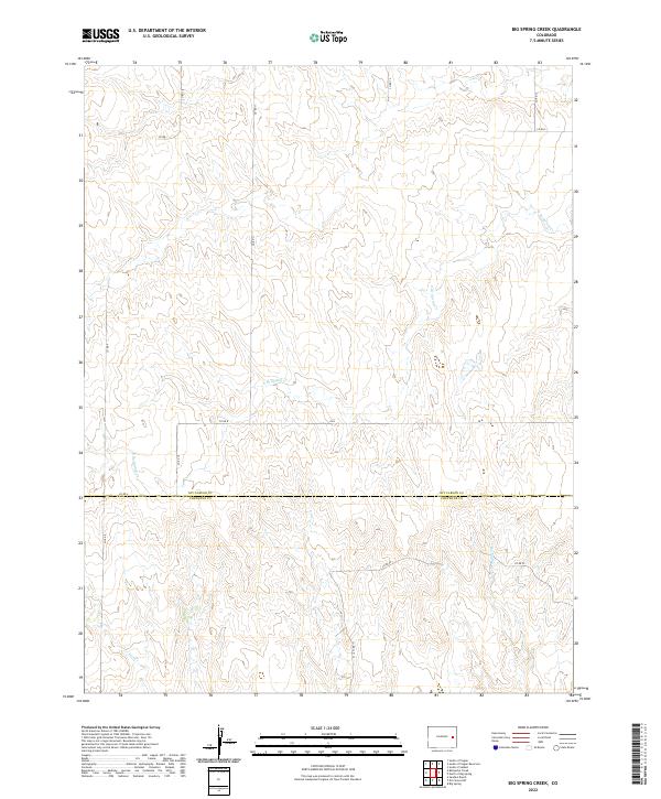
2022 Big Spring Creek
Kit Carson County, CO
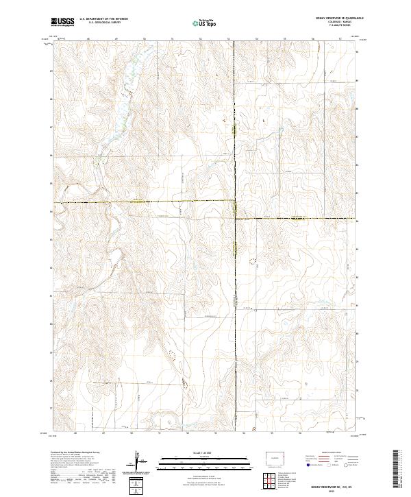
2022 Bonny Reservoir SE
Kit Carson County, CO
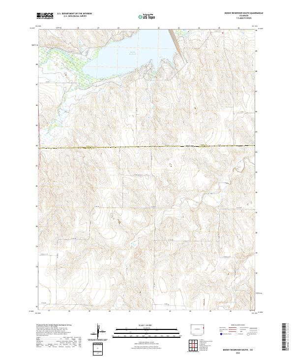
2022 Bonny Reservoir South
Kit Carson County, CO
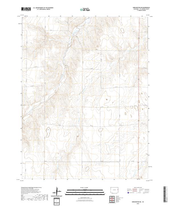
2022 Burlington NE
Kit Carson County, CO
2022 Cope SE
Kit Carson County, CO
2022 Cope SW
Kit Carson County, CO
2022 East of Rock Creek
Kit Carson County, CO
2022 Flagler NE
Kit Carson County, CO
2022 Flagler Reservoir
Kit Carson County, CO
2022 Idalia SE
Kit Carson County, CO
2022 Idalia SW
Kit Carson County, CO
2022 Joes SW
Kit Carson County, CO
2022 Kanorado NE
Kit Carson County, CO
2022 Kanorado NW
Kit Carson County, CO
2022 Mount Sunflower NE
Kit Carson County, CO
2022 Mount Sunflower NW
Kit Carson County, CO
2022 Mount Sunflower SW
Kit Carson County, CO
2022 North of Big Spring
Kit Carson County, CO

2022 Peconic
Kit Carson County, CO
2022 Rock Creek
Kit Carson County, CO
2022 Seibert NE
Kit Carson County, CO
2022 Seibert NW
Kit Carson County, CO
2022 Settlement
Kit Carson County, CO
2022 South of Bethune
Kit Carson County, CO
2022 South of Burlington
Kit Carson County, CO
2022 South of Flagler
Kit Carson County, CO
2022 South of Flagler Reservoir
Kit Carson County, CO
2022 South of Seibert
Kit Carson County, CO
2022 Stratton NW
Kit Carson County, CO
2022 Tuttle
Kit Carson County, CO