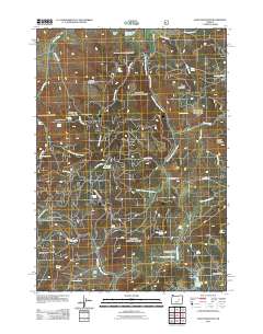
2011 Map of Alsup Mountain
USGS Topo · Published 2011About this map
The South Fork John Day River winds through this high-elevation landscape, defining a network of drainages and seasonal meadows in Eastern Oregon. By 2011, the area reflects a deeply rooted ranching and forest management history, anchored by sites like Rickman Ranch and Buttes Ranch. The terrain is characterized by broad ridges and high points such as Donivan Mountain and Alsup Mountain, separated by significant open spaces like Sunflower Flat and Sawtooth Meadows. Water resources are central to the geography here, with numerous developed points including Rickman Reservoir and Browns Reservoir, alongside a high density of named springs like Chris Borg Spring and Bear Tree Spring. Evidence of seasonal habitation and historical land use is visible at Delles Creek Camp and the remote Turner Cabin, while the network of forest roads like Burns-Izee Rd provides the primary access through this complex drainage system.
Find a feature on this map
51 named features on this map. Tap any name to fly to it.
Don’t see what you’re looking for? This feature index may not catch every label — zoom into the map to look around manually.
Map Details
Editions of this 2011 Alsup Mountain Map
This is the sole edition of this map. No revisions or reprints were ever made.
Other maps of this area

1955 · Burns
USGS Topo · 1:250,000

1955 · Canyon City
USGS Topo · 1:250,000

1958 · Burns
USGS Topo · 1:250,000

1959 · Burns
USGS Topo · 1:250,000

1959 · Canyon City
USGS Topo · 1:250,000

1959 · West Myrtle Butte
USGS Topo · 1:62,500

1959 · Sawtooth Creek
USGS Topo · 1:62,500

1961 · Logdell
USGS Topo · 1:62,500

1961 · Izee
USGS Topo · 1:62,500

1981 · Dayville
USGS Topo · 1:100,000