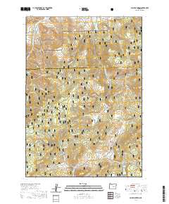
2020 Map of Alsup Mountain
USGS Topo · Published 2020About this map
The Malheur National Forest dominates this landscape on the border of Grant and Harney counties, where the South Fork John Day Wild and Scenic River carves through the northern terrain. High-elevation peaks such as Alsup Mtn and Donivan Mtn define the topography, while lower-lying areas like Sunflower Flat and Sawtooth Meadows offer distinct clearings within the timbered reaches. The map reveals a complex network of springs and drainage systems, including Alsup Spring, Chris Borg Spring, and Crystal Spring, which feed into various creeks like Bear Cr and Rock Cr.
Find a feature on this map
48 named features on this map. Tap any name to fly to it.
Don’t see what you’re looking for? This feature index may not catch every label — zoom into the map to look around manually.
Map Details
Editions of this 2020 Alsup Mountain Map
This is the sole edition of this map. No revisions or reprints were ever made.
Other maps of this area

1955 · Burns
USGS Topo · 1:250,000

1955 · Canyon City
USGS Topo · 1:250,000

1958 · Burns
USGS Topo · 1:250,000

1959 · Burns
USGS Topo · 1:250,000

1959 · Canyon City
USGS Topo · 1:250,000

1959 · West Myrtle Butte
USGS Topo · 1:62,500

1959 · Sawtooth Creek
USGS Topo · 1:62,500

1961 · Logdell
USGS Topo · 1:62,500

1961 · Izee
USGS Topo · 1:62,500

1981 · Dayville
USGS Topo · 1:100,000