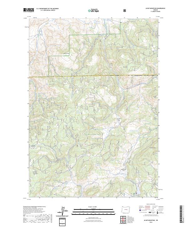
2024 Map of Alsup Mountain
USGS Topo · Published 2024About this map
The Malheur National Forest dominates this section of the Oregon high country, where the headwaters of the South Fork John Day Wild and Scenic River and the South Fork Day River carve through the mountain terrain. This is a landscape defined by its water sources, featuring an extensive network of named springs such as Chris Borg Spring, Devils Garden Spring, and Yellowjacket Spring. These water points, along with Rickman Reservoir and Browns Reservoir, have long supported the livestock and wildlife that graze through high-elevation openings like Sunflower Flat and Sawtooth Meadows.
Find a feature on this map
49 named features on this map. Tap any name to fly to it.
Don’t see what you’re looking for? This feature index may not catch every label — zoom into the map to look around manually.
Map Details
Editions of this 2024 Alsup Mountain Map
This is the sole edition of this map. No revisions or reprints were ever made.
Other maps of this area

1955 · Burns
USGS Topo · 1:250,000

1955 · Canyon City
USGS Topo · 1:250,000

1958 · Burns
USGS Topo · 1:250,000

1959 · Burns
USGS Topo · 1:250,000

1959 · Canyon City
USGS Topo · 1:250,000

1959 · West Myrtle Butte
USGS Topo · 1:62,500

1959 · Sawtooth Creek
USGS Topo · 1:62,500

1961 · Logdell
USGS Topo · 1:62,500

1961 · Izee
USGS Topo · 1:62,500

1981 · Dayville
USGS Topo · 1:100,000