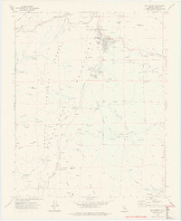
1972 Map of Alta Sierra
USGS Topo · Published 1975About this map
Alta Sierra and the surrounding heights of the Sequoia National Forest define this 1970s landscape, where alpine recreation and historical resource extraction meet. The terrain is marked by a legacy of early industry, evidenced by the Old Likely Mill (Site) and Browns Mill (Site), as well as the Keyes Mine near the settlement of Keyesville in the southeast. These sites point to a rugged economic history of timber and mining that predates the modern development of Shirley Meadows and its Ski Lifts.
Find a feature on this map
62 named features on this map. Tap any name to fly to it.
Don’t see what you’re looking for? This feature index may not catch every label — zoom into the map to look around manually.
Map Details
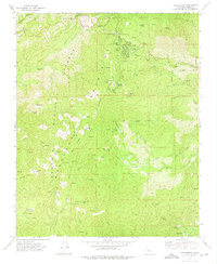
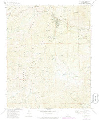
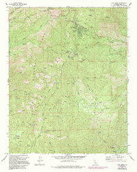
Editions of this 1972 Alta Sierra Map
4 editions found
Other maps of this area

1906 · Kernville
USGS Topo · 1:125,000

1908 · Kernville
USGS Topo · 1:125,000

1920 · Delonagha
USGS Topo · 1:62,500

1926 · Glennville
USGS Topo · 1:62,500

1936 · Tobias Peak
USGS Topo · 1:125,000

1943 · Tobias Peak
USGS Topo · 1:125,000

1943 · Isabella
USGS Topo · 1:62,500

1945 · Tobias Peak
USGS Topo · 1:62,500

1948 · Bakersfield
USGS Topo · 1:250,000

1955 · Bakersfield
USGS Topo · 1:250,000