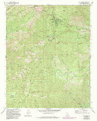
1972 Map of Alta Sierra
USGS Topo · Published 1994About this map
Sequoia National Forest dominates this landscape in the Kern County mountains, where the transition from high-altitude timber to the mining-inflected valleys below is clearly defined. The area around Alta Sierra and Greenhorn Summit shows a concentration of recreational and utility development, featuring Camp Kaweah, Camp Venita Hante, and the Shirley Peak Radio Tower. Local industry is preserved through historical markers like the Old Likely Mill (Site) and Browns Mill (Site), suggesting a legacy of timber processing that once supported nearby settlements. To the southeast, the terrain descends toward Wagy Flat and the historic site of Keyesville, where the Keyes Mine and a local Cem reflect the region's 19th-century gold mining roots. The network of forest roads, including Rancheria Road and Woodward Road, connects these high-country sites to the broader Kern River drainage system.
Find a feature on this map
64 named features on this map. Tap any name to fly to it.
Don’t see what you’re looking for? This feature index may not catch every label — zoom into the map to look around manually.
Map Details
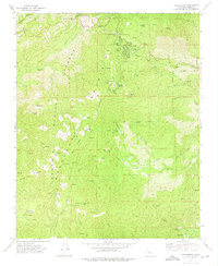
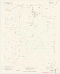
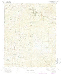
Editions of this 1972 Alta Sierra Map
4 editions found
Other maps of this area

1906 · Kernville
USGS Topo · 1:125,000

1908 · Kernville
USGS Topo · 1:125,000

1920 · Delonagha
USGS Topo · 1:62,500

1926 · Glennville
USGS Topo · 1:62,500

1936 · Tobias Peak
USGS Topo · 1:125,000

1943 · Tobias Peak
USGS Topo · 1:125,000

1943 · Isabella
USGS Topo · 1:62,500

1945 · Tobias Peak
USGS Topo · 1:62,500

1948 · Bakersfield
USGS Topo · 1:250,000

1955 · Bakersfield
USGS Topo · 1:250,000