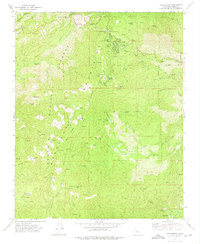
1972 Map of Alta Sierra
USGS Topo · Published 1975About this map
The Sequoia National Forest landscape dominated this part of Kern County in the early 1970s, characterized by high-elevation summits and historical industrial footprints. The map details the developed recreation and residential pockets of Alta Sierra and Shirley Meadows, alongside youth camps like Camp Kaweah and Yenis Hante. Evidence of earlier mountain industry is visible at the Old Likely Mill (Site) and Browns Mill (Site), suggesting a history of timber processing long before the area became a modern recreation hub. To the south, the settlement of Keyesville and the Keyes Mine mark the region’s mining heritage near Keyes Creek. This survey captures the transition from a resource-extraction economy toward a seasonal and recreational one, preserving the locations of a remote Cem and the Summit Forest Service Station amidst the drainages of Cedar Creek and Adler Creek.
Find a feature on this map
58 named features on this map. Tap any name to fly to it.
Don’t see what you’re looking for? This feature index may not catch every label — zoom into the map to look around manually.
Map Details
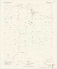
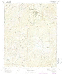
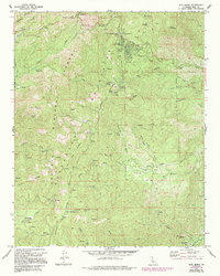
Editions of this 1972 Alta Sierra Map
4 editions found
Other maps of this area

1906 · Kernville
USGS Topo · 1:125,000

1908 · Kernville
USGS Topo · 1:125,000

1920 · Delonagha
USGS Topo · 1:62,500

1926 · Glennville
USGS Topo · 1:62,500

1936 · Tobias Peak
USGS Topo · 1:125,000

1943 · Tobias Peak
USGS Topo · 1:125,000

1943 · Isabella
USGS Topo · 1:62,500

1945 · Tobias Peak
USGS Topo · 1:62,500

1948 · Bakersfield
USGS Topo · 1:250,000

1955 · Bakersfield
USGS Topo · 1:250,000