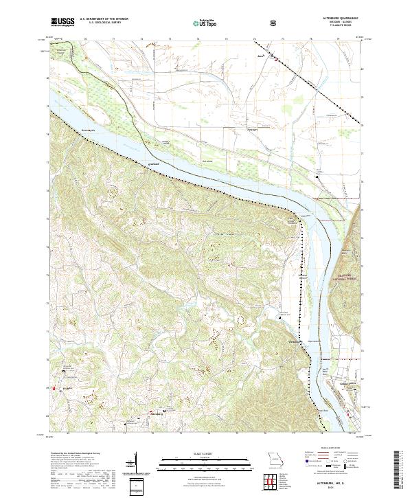
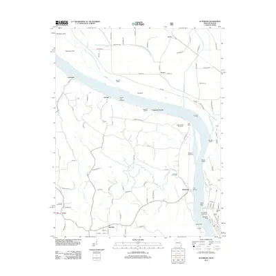
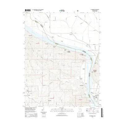
2021 Map of Altenburg
USGS Topo · Published 2021About this map
The Mississippi River creates a complex boundary between Missouri and Illinois here, shaping a landscape of river islands like Wilkinson Island and Hat Island alongside the Middle Mississippi River National Wildlife Refuge. On the Missouri side, the German heritage of Perry County is evident in the cluster of historic settlements and their associated burial grounds, including Altenburg, Frohna, and Wittenberg. The terrain transitions from the alluvial Brazeau Bottoms to the high bluffs of Cape Cinque Hommes and Fountain Bluff. Genealogists will find significant value in the numerous church-affiliated sites such as Trinity Church Cem and Immanuel Lutheran Cem, which serve as anchors for these tight-knit communities. Landmark features like the geologic formation at Tower Rock and the narrow passage at Devils Bake Oven highlight the river's navigational history and the topographical variety of the Shawnee Hills region.
Find a feature on this map
104 named features on this map. Tap any name to fly to it.
Don’t see what you’re looking for? This feature index may not catch every label — zoom into the map to look around manually.
Map Details
Editions of this 2021 Altenburg Map
This is the sole edition of this map. No revisions or reprints were ever made.
Historical Maps of Grand Tower Through Time
11 maps found

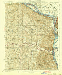
1918 Altenburg
Perry County, MO
1925 Altenburg
Perry County, MO
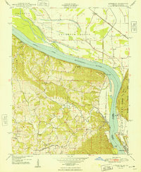
1947 Altenburg
Perry County, MO
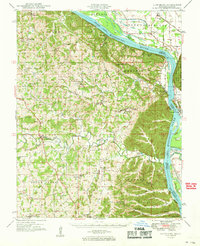
1947 Altenburg
Perry County, MO
1948 Altenburg
Perry County, MO
1949 Altenburg
Perry County, MO
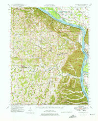
1994 Altenburg
Perry County, MO
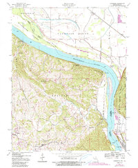
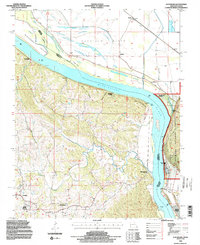
2012 Altenburg
Perry County, MO
2015 Altenburg
Perry County, MO
2017 Altenburg
Perry County, MO
2021 Altenburg
Perry County, MO