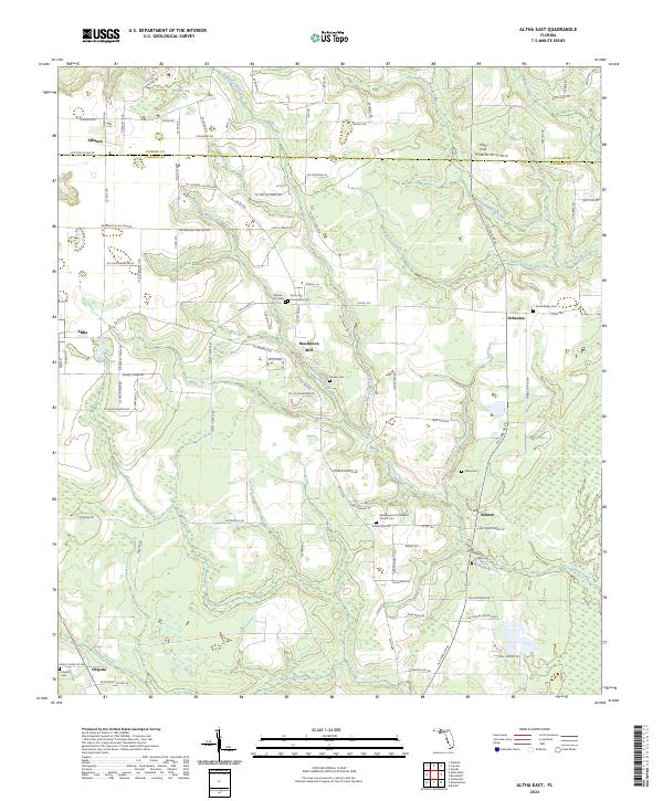
2024 Map of Altha East
USGS Topo · Published 2024About this map
Henderson Mill and the surrounding drainage of Thomas Mill Creek characterize this pocket of the Florida panhandle near the Jackson and Calhoun county line. The landscape is defined by an intricate network of waterways, including Flowers Creek, Ocheesee Creek, and Graves Creek, which feed into the broader basin of the Chipola area. The distribution of small settlements such as Alliance, Selman, and Ocheesee reveals a rural pattern of development tied to the land and local timber or milling history.
Find a feature on this map
111 named features on this map. Tap any name to fly to it.
Don’t see what you’re looking for? This feature index may not catch every label — zoom into the map to look around manually.
Map Details
Editions of this 2024 Altha East Map
This is the sole edition of this map. No revisions or reprints were ever made.
Other maps of this area

1944 · Clarksville
USGS Topo · 1:31,680

1945 · Blountstown
USGS Topo · 1:31,680

1945 · Clarksville
USGS Topo · 1:31,680

1945 · Bristol
USGS Topo · 1:31,680

1952 · Cypress
USGS Topo · 1:24,000

1952 · Oakdale
USGS Topo · 1:24,000

1952 · Altha West
USGS Topo · 1:24,000

1952 · Altha East
USGS Topo · 1:24,000

1954 · Sneads
USGS Topo · 1:24,000

1954 · Tallahassee
USGS Topo · 1:250,000