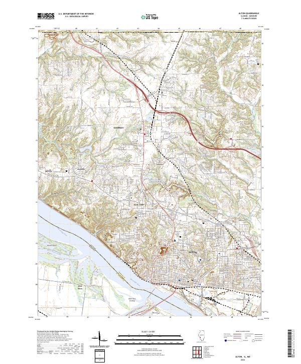
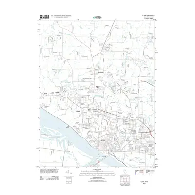
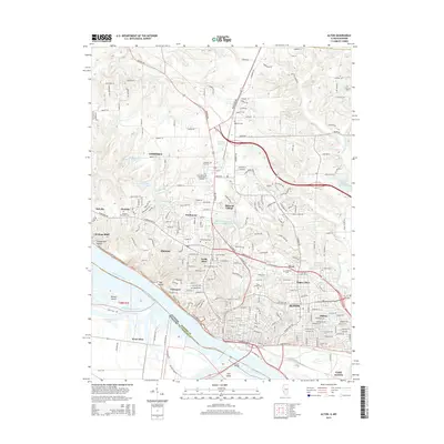
2024 Map of Alton
USGS Topo · Published 2024About this map
The Mississippi River forms the southern boundary of this region, shaping the industrial and residential development of Alton and Godfrey. The riverfront features the Alton Ferry Landing and is carved by channels like Brick House Slough around Ellis Island and Dresser Island. Moving inland, the landscape is defined by its deep memorial history, containing several significant burial grounds including the North Alton Confederate Cem and the Alton National Cem, alongside the Lovejoy Memorial Cem.
Find a feature on this map
270 named features on this map. Tap any name to fly to it.
Don’t see what you’re looking for? This feature index may not catch every label — zoom into the map to look around manually.
Map Details
Editions of this 2024 Alton Map
This is the sole edition of this map. No revisions or reprints were ever made.
Historical Maps of Alton Through Time
12 maps found

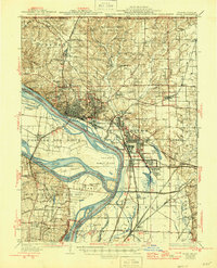
1927 Alton
Madison County, IL
1934 Alton
Madison County, IL
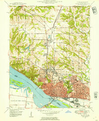
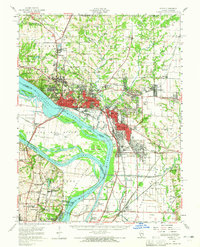
1948 Alton
Madison County, IL
1950 Alton
Madison County, IL
1954 Alton
Madison County, IL
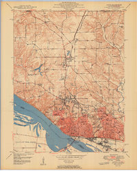
1955 Alton
Madison County, IL
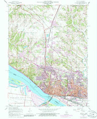
1994 Alton
Madison County, IL
2012 Alton
Madison County, IL
2015 Alton
Madison County, IL

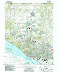
2018 Alton
Madison County, IL
2021 Alton
Madison County, IL
2024 Alton
Madison County, IL