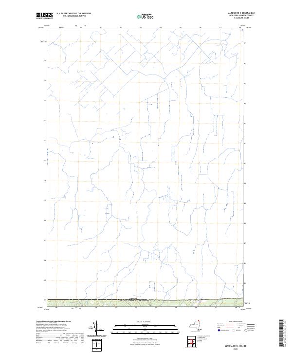
2023 Map of Altona OE N
USGS Topo · Published 2023About this map
The international border between Canada and the United States defines the character of this northern Clinton County terrain. This recent survey records the contemporary road network and hydrological patterns just south of the Quebec-New York boundary. The landscape is marked by a intricate system of stream headwaters and local connectors that traverse the sparsely populated borderlands. Unlike historical sheets that focused on early industry, this map serves as a modern spatial inventory of the physical geography and administrative boundaries at the edge of the Adirondack region.
Find a feature on this map
1 named feature on this map. Tap any name to fly to it.
Don’t see what you’re looking for? This feature index may not catch every label — zoom into the map to look around manually.
Map Details
Editions of this 2023 Altona OE N Map
This is the sole edition of this map. No revisions or reprints were ever made.
Other maps of this area

1895 · Mooers
USGS Topo · 1:62,500

1899 · Mooers
USGS Topo · 1:62,500

1915 · Churubusco
USGS Topo · 1:62,500

1942 · Mooers
USGS Topo · 1:62,500

1943 · Churubusco
USGS Topo · 1:62,500

1943 · Mooers
USGS Topo · 1:62,500

1950 · Lake Champlain
USGS Topo · 1:250,000
1956 · Mooers
USGS Topo · 1:62,500

1958 · Lake Champlain
USGS Topo · 1:250,000

1962 · Lake Champlain
USGS Topo · 1:250,000