
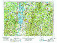
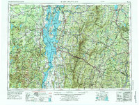
1962 Map of Lake Champlain
USGS Topo · Published 1975About this map
Lake Champlain serves as the central spine of this regional survey, dividing the high peaks of the Adirondack Park in New York from the Green Mountain National Forest in Vermont. The landscape is defined by its industrial and military footprint during the early 1960s and 1970s, featuring the Plattsburgh AFB and the Lyon Mountain Mine. The map captures a complex transportation network where the Delaware & Hudson RR skirts the western lake shore while the Central Vermont RR and Canadian Pacific Ry facilitate transit through the mountain corridors.
Find a feature on this map
265 named features on this map. Tap any name to fly to it.
Don’t see what you’re looking for? This feature index may not catch every label — zoom into the map to look around manually.
Map Details
Editions of this 1962 Lake Champlain Map
3 editions found
Other maps of this area

1894 · Elizabethtown
USGS Topo · 1:62,500

1894 · Port Henry
USGS Topo · 1:62,500

1894 · Plattsburg
USGS Topo · 1:62,500

1894 · Ticonderoga
USGS Topo · 1:62,500

1895 · Mooers
USGS Topo · 1:62,500

1895 · Rouse Point
USGS Topo · 1:62,500

1895 · Willsboro
USGS Topo · 1:62,500

1895 · Elizabethtown
USGS Topo · 1:62,500

1895 · Mt. Marcy
USGS Topo · 1:62,500

1895 · Ausable
USGS Topo · 1:62,500