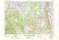
1954 Map of Alturas
USGS Topo · Published 1974About this map
Modoc Plateau and Warner Mountains dominate this Northeastern California landscape, capturing the region as it appeared in the mid-1950s with revisions through 1971. The map details a complex network of public and tribal lands, including Fort Bidwell Indian Res, XL Ranch Ind Res, and the volcanic terrain of Lava Beds National Monument. Settlement patterns follow the valleys, with Alturas serving as a central hub for the surrounding cattle country and timberlands. Transportation is defined by the Southern Pacific and Western Pacific railroads, which facilitated the movement of goods through high-desert outposts like Bieber and Likely. The hydrology of the area is particularly distinct, showing the sprawling basins of Goose Lake and Clear Lake Reservoir alongside the Surprise Valley sink. Researchers can trace irrigation and land use through various wildlife refuges and reservoirs that manage the waters of the Pit River.
Find a feature on this map
113 named features on this map. Tap any name to fly to it.
Don’t see what you’re looking for? This feature index may not catch every label — zoom into the map to look around manually.
Map Details
Editions of this 1954 Alturas Map
4 editions found

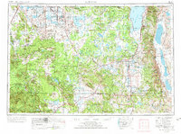
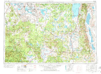
Other maps of this area

1886 · Alturas
USGS Topo · 1:250,000

1886 · Honey Lake
USGS Topo · 1:250,000

1886 · Lassen Peak
USGS Topo · 1:250,000

1886 · Modoc Lava Bed
USGS Topo · 1:250,000

1886 · Shasta
USGS Topo · 1:250,000

1886 · Granite Range
USGS Topo · 1:250,000

1889 · Klamath
USGS Topo · 1:250,000

1889 · Long Valley
USGS Topo · 1:250,000

1890 · Red Bluff
USGS Topo · 1:250,000

1891 · Honey Lake
USGS Topo · 1:250,000