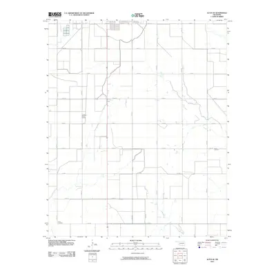
2010 Map of Altus SE
USGS Topo · Published 2010About this map
Agricultural patterns and water management define this landscape south of the city, dominated by the engineered path of the Altus Canal. The map reveals a strictly gridded rural layout partitioned by an extensive network of local roads such as Ridgecrest Rd and E 1650 Rd. This infrastructure supports a farming economy that relies on irrigation and efficient transit. Local genealogy and history are preserved in small, localized sites like Francis Cemetery in the east and Elmer Cemetery in the southwest corner. The presence of the Sheffield- Smith Airstrip highlights the importance of private aviation in managing these expansive southwestern Oklahoma landholdings during the early 21st century.
Find a feature on this map
21 named features on this map. Tap any name to fly to it.
Don’t see what you’re looking for? This feature index may not catch every label — zoom into the map to look around manually.
Map Details
Editions of this 2010 Altus SE Map
This is the sole edition of this map. No revisions or reprints were ever made.
Other maps of this area

1955 · Lawton
USGS Topo · 1:250,000

1958 · Frederick
USGS Topo · 1:62,500

1958 · Elmer
USGS Topo · 1:62,500

1963 · Altus SE
USGS Topo · 1:24,000

1964 · Martha
USGS Topo · 1:24,000

1964 · Altus
USGS Topo · 1:24,000

1964 · Tipton
USGS Topo · 1:24,000

1964 · Olustee
USGS Topo · 1:24,000

1964 · Headrick
USGS Topo · 1:24,000

1975 · Elmore City NE
USGS Topo · 1:24,000