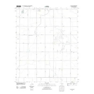
2012 Map of Altus SE
USGS Topo · Published 2012About this map
Agricultural patterns and irrigation infrastructure define this Jackson County landscape southeast of Altus. The Altus Canal cuts a distinctive path through the terrain, supporting the region's farming economy as it has for generations. Local history and genealogy researchers will find several significant markers, including the Francis Cem and Elmer Cem, which anchor the rural community. Transportation in the area relies on a strict grid of county roads, such as E1670 Rd and N2070 Rd, while the Sheffield-Smith Airstrip provides a private aviation link to the wider world. The residential expansion near the northern edge of the map is evident through newer street names like Mars St and Libra St, showing the steady outward growth of the nearby city into its surrounding rural sections.
Find a feature on this map
28 named features on this map. Tap any name to fly to it.
Don’t see what you’re looking for? This feature index may not catch every label — zoom into the map to look around manually.
Map Details
Editions of this 2012 Altus SE Map
This is the sole edition of this map. No revisions or reprints were ever made.
Other maps of this area

1955 · Lawton
USGS Topo · 1:250,000

1958 · Frederick
USGS Topo · 1:62,500

1958 · Elmer
USGS Topo · 1:62,500

1963 · Altus SE
USGS Topo · 1:24,000

1964 · Martha
USGS Topo · 1:24,000

1964 · Altus
USGS Topo · 1:24,000

1964 · Tipton
USGS Topo · 1:24,000

1964 · Olustee
USGS Topo · 1:24,000

1964 · Headrick
USGS Topo · 1:24,000

1975 · Elmore City NE
USGS Topo · 1:24,000