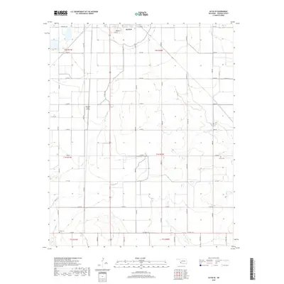
2018 Map of Altus SE
USGS Topo · Published 2018About this map
Altus anchors the northern edge of this Oklahoma landscape, where the town's residential grid meets the vast agricultural sections of Jackson County. The Altus Canal winds southward through the center of the sheet, providing essential water management for the surrounding farmland. This modern survey reflects the enduring section-line road system, including routes like Ridgecrest Rd and N2050 Rd, which define the region's geographic layout. Traces of local heritage are preserved at the Francis Cem in the east and Elmer Cem near the southern border. The presence of the Sheffield-Smith Airstrip near the center of the quadrangle highlights the intersection of rural life and private aviation in the high plains. The landscape is primarily defined by its wide, open drainage patterns and a strictly organized network of county roads.
Find a feature on this map
36 named features on this map. Tap any name to fly to it.
Don’t see what you’re looking for? This feature index may not catch every label — zoom into the map to look around manually.
Map Details
Editions of this 2018 Altus SE Map
This is the sole edition of this map. No revisions or reprints were ever made.
Other maps of this area

1955 · Lawton
USGS Topo · 1:250,000

1958 · Frederick
USGS Topo · 1:62,500

1958 · Elmer
USGS Topo · 1:62,500

1963 · Altus SE
USGS Topo · 1:24,000

1964 · Martha
USGS Topo · 1:24,000

1964 · Altus
USGS Topo · 1:24,000

1964 · Tipton
USGS Topo · 1:24,000

1964 · Olustee
USGS Topo · 1:24,000

1964 · Headrick
USGS Topo · 1:24,000

1975 · Elmore City NE
USGS Topo · 1:24,000