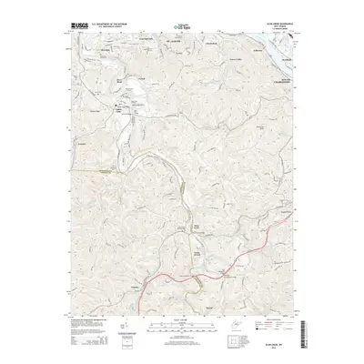
2014 Map of Alum Creek
USGS Topo · Published 2014About this map
St. Albans and South Charleston anchor the northern reaches of this map, where the Kanawha River meets the winding Coal River. The landscape is defined by the significant confluence at Forks of Coal, where the Little Coal River and Big Coal River join amidst the steep topography of the Kanawha and Lincoln County line. This region serves as a junction for both water and transport, evidenced by numerous river crossings such as the Tornado Bridge, Alum Creek Bridge, and the Workman Development Bridge.
Find a feature on this map
99 named features on this map. Tap any name to fly to it.
Don’t see what you’re looking for? This feature index may not catch every label — zoom into the map to look around manually.
Map Details
Editions of this 2014 Alum Creek Map
This is the sole edition of this map. No revisions or reprints were ever made.
Other maps of this area

1899 · Charleston
USGS Topo · 1:125,000

1909 · Charleston
USGS Topo · 1:62,500

1909 · Peytona
USGS Topo · 1:48,000

1909 · Saint Albans
USGS Topo · 1:62,500

1911 · Peytona
USGS Topo · 1:62,500

1911 · Madison
USGS Topo · 1:62,500

1929 · Madison
USGS Topo · 1:62,500

1929 · Peytona
USGS Topo · 1:62,500

1931 · Madison
USGS Topo · 1:62,500

1931 · Saint Albans
USGS Topo · 1:62,500