
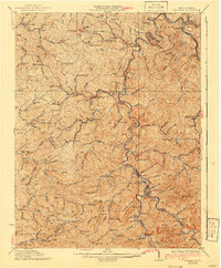
1931 Map of Madison
USGS Topo · Published 1931About this map
The Little Coal River serves as the primary artery of commerce and settlement in this 1931 survey of the coal and timber country surrounding Madison and Danville. The rugged landscape is punctuated by numerous hollows and knobs, while the Chesapeake and Ohio railroad snakes through the valleys, piercing the ridges at Pinnacle Tunnel and Blue Son Tunnel. This network was critical for moving coal from the nearby fields to the industrial centers of the Kanawha valley.
Find a feature on this map
155 named features on this map. Tap any name to fly to it.
Don’t see what you’re looking for? This feature index may not catch every label — zoom into the map to look around manually.
Map Details
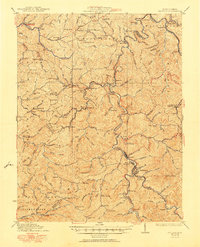
Editions of this 1931 Madison Map
3 editions found
Other maps of this area

1887 · Warfield
USGS Topo · 1:125,000

1891 · Oceana
USGS Topo · 1:125,000

1891 · Warfield
USGS Topo · 1:125,000

1892 · Huntington
USGS Topo · 1:125,000

1893 · Oceana
USGS Topo · 1:125,000

1898 · Huntington
USGS Topo · 1:125,000

1898 · Oceana
USGS Topo · 1:125,000

1899 · Charleston
USGS Topo · 1:125,000

1902 · Milton
USGS Topo · 1:62,500

1902 · Midkiff
USGS Topo · 1:62,500