
1911 Map of Peytona
USGS Topo · Published 1911About this map
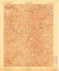
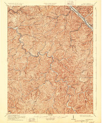
The Coal River winds through a landscape of sharp ridges and deep hollows in this Southern West Virginia survey, conducted during a period of intense industrial expansion. The map documents the vital intersection of rail and river commerce, showing the Chesapeake and Ohio railroad corridor as it parallels the Kanawha and Michigan line along the northern border. Settlements like Peytona and Racine anchor the central river valley, while the narrow branch lines of the Chesapeake and Ohio penetrate deep into the hills to serve mining and timber operations at Winifrede and Olcott.
Find a feature on this map
108 named features on this map. Tap any name to fly to it.
Don’t see what you’re looking for? This feature index may not catch every label — zoom into the map to look around manually.
Map Details
Editions of this 1911 Peytona Map
3 editions found
Other maps of this area

1891 · Oceana
USGS Topo · 1:125,000

1891 · Raleigh
USGS Topo · 1:125,000

1893 · Oceana
USGS Topo · 1:125,000

1897 · Kanawha Falls
USGS Topo · 1:125,000

1897 · Raleigh
USGS Topo · 1:125,000

1898 · Oceana
USGS Topo · 1:125,000

1899 · Charleston
USGS Topo · 1:125,000

1900 · Kanawha Falls
USGS Topo · 1:125,000

1901 · Kanawha Falls
USGS Topo · 1:125,000

1902 · Raleigh
USGS Topo · 1:125,000