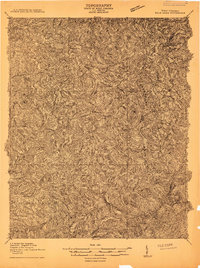
1911 Map of Peytona
USGS Topo · Published 1929About this map
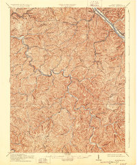
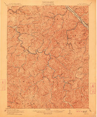
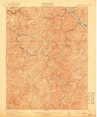
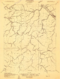
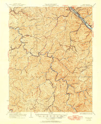
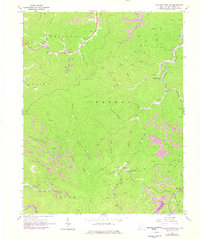
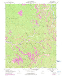
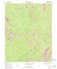
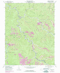
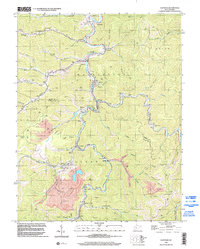
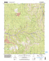
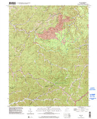
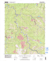
Coal River and the Kanawha River anchor this 1909 survey of the central West Virginia coalfields, showing the region at a pivotal moment of industrial development. The Kanawha and Michigan RR and the Chesapeake and Ohio RR parallel the northern riverbanks, facilitating the transport of natural resources from the interior. Small settlements and post offices like Lewiston P O and Quincy P O serve as early focal points for the workforce, while the Winifrede RR reaches deeper into the hills toward Winifrede. The map illustrates a complex network of creeks such as Bull Creek and Short Creek that dictated the placement of early haul roads and rail spurs. The intricate topography reveals how the narrow valleys shaped the growth of communities like Peytona and Racine before the extensive modern infrastructure was established.
Find a feature on this map
75 named features on this map. Tap any name to fly to it.
Don’t see what you’re looking for? This feature index may not catch every label — zoom into the map to look around manually.
Map Details
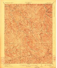
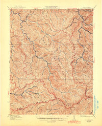
Editions of this 1911 Peytona Map
3 editions found
Historical Maps of Marmet Through Time
27 maps found
1909 Peytona
Boone County, WV
1910 Bald Knob
Boone County, WV
1911 Peytona
Boone County, WV
1912 Bald Knob
Boone County, WV

1928 Bald Knob
Boone County, WV
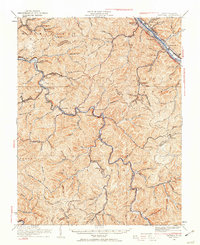
1929 Peytona
Boone County, WV
1931 Bald Knob
Boone County, WV
1931 Peytona
Boone County, WV
1962 Julian
Boone County, WV
1962 Mud
Boone County, WV
1963 Clothier
Boone County, WV
1965 Williams Mountain
Boone County, WV
1968 Lorado
Boone County, WV
1968 Pilot Knob
Boone County, WV
1968 Wharton
Boone County, WV
1996 Clothier
Boone County, WV
1996 Lorado
Boone County, WV
1996 Mud
Boone County, WV
1996 Wharton
Boone County, WV
1996 Williams Mountain
Boone County, WV
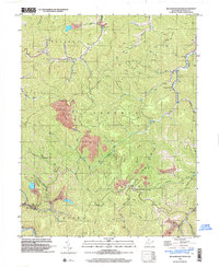
2023 Clothier
Boone County, WV
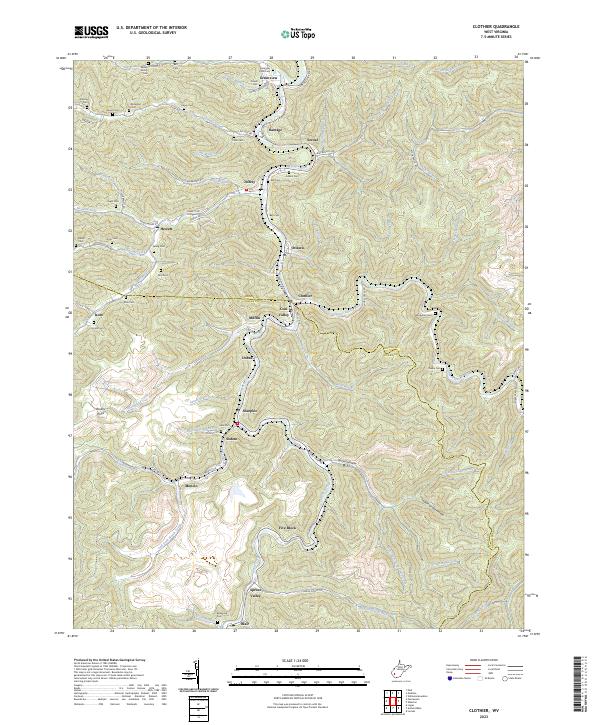
2023 Julian
Boone County, WV
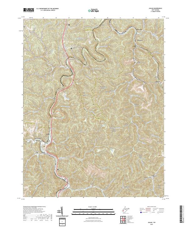
2023 Lorado
Boone County, WV
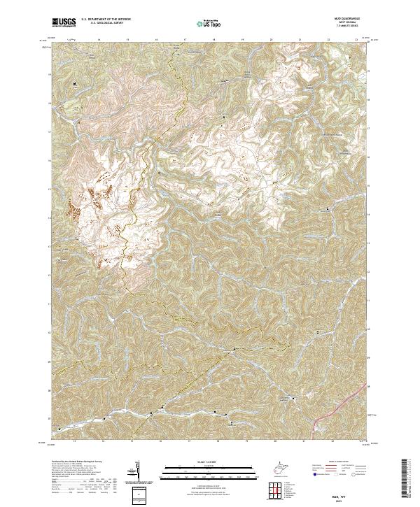
2023 Mud
Boone County, WV
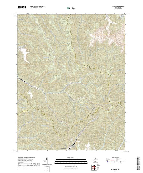
2023 Pilot Knob
Boone County, WV
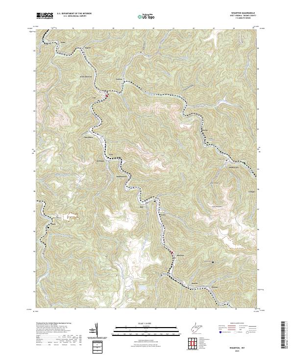
2023 Wharton
Boone County, WV
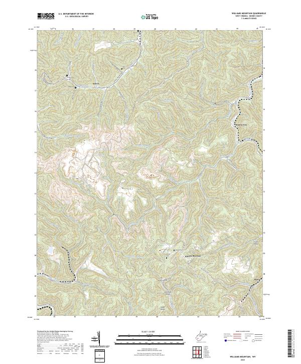
2023 Williams Mountain
Boone County, WV