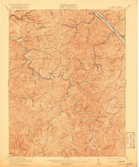
1911 Map of Peytona
USGS Topo · Published 1918About this map
The Coal River and Kanawha River define the industrial and residential geography of this West Virginia landscape during the early twentieth century. This survey, conducted by topographic engineers like E. I. Ireland and J. R. Eakin, captures the intricate network of hollows and ridges that dictated settlement patterns in both Kanawha and Boone Counties. Along the banks of the Kanawha, the Chesapeake and Ohio railroad corridor links towns such as Marmet and Belle, while inland, the steep terrain is dotted with small mining and timber communities like Winifrede and Olcott.
Find a feature on this map
95 named features on this map. Tap any name to fly to it.
Don’t see what you’re looking for? This feature index may not catch every label — zoom into the map to look around manually.
Map Details
Editions of this 1911 Peytona Map
3 editions found

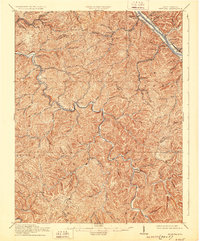
Other maps of this area

1891 · Oceana
USGS Topo · 1:125,000

1891 · Raleigh
USGS Topo · 1:125,000

1893 · Oceana
USGS Topo · 1:125,000

1897 · Kanawha Falls
USGS Topo · 1:125,000

1897 · Raleigh
USGS Topo · 1:125,000

1898 · Oceana
USGS Topo · 1:125,000

1899 · Charleston
USGS Topo · 1:125,000

1900 · Kanawha Falls
USGS Topo · 1:125,000

1901 · Kanawha Falls
USGS Topo · 1:125,000

1902 · Raleigh
USGS Topo · 1:125,000