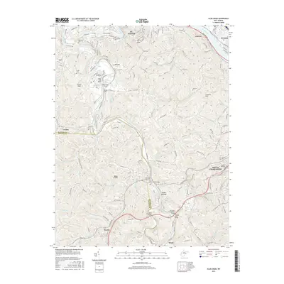
2016 Map of Alum Creek
USGS Topo · Published 2016About this map
The Kanawha River and Coal River converge in this West Virginia corridor, where residential expansion from St. Albans, Dunbar, and South Charleston meets the winding ridges of the Appalachians. The landscape is defined by its water crossings and small valley communities, including Tornado, Alum Creek, and Forks of Coal. Significant local history is preserved in numerous family burial grounds such as Sutherland-White Cem and Templeton Cem, often tucked away on hillsides near Tanbark Ridge or Dry Ridge.
Find a feature on this map
181 named features on this map. Tap any name to fly to it.
Don’t see what you’re looking for? This feature index may not catch every label — zoom into the map to look around manually.
Map Details
Editions of this 2016 Alum Creek Map
This is the sole edition of this map. No revisions or reprints were ever made.
Other maps of this area

1899 · Charleston
USGS Topo · 1:125,000

1909 · Charleston
USGS Topo · 1:62,500

1909 · Peytona
USGS Topo · 1:48,000

1909 · Saint Albans
USGS Topo · 1:62,500

1911 · Peytona
USGS Topo · 1:62,500

1911 · Madison
USGS Topo · 1:62,500

1929 · Madison
USGS Topo · 1:62,500

1929 · Peytona
USGS Topo · 1:62,500

1931 · Madison
USGS Topo · 1:62,500

1931 · Saint Albans
USGS Topo · 1:62,500