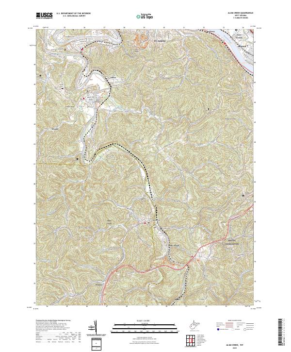
2023 Map of Alum Creek
USGS Topo · Published 2023About this map
The Coal River winds through the heart of the Kanawha and Lincoln County borderlands, carving a complex path past Tornado and Alum Creek. This modern survey documents the contemporary landscape where the river system dominates local geography, featuring notable points like Upper Falls and the recreational Upper Falls Beach. The map illustrates the transition from the denser settlements of St. Albans and South Charleston in the north toward the more dispersed communities of Priestley and Sproul to the south.
Find a feature on this map
89 named features on this map. Tap any name to fly to it.
Don’t see what you’re looking for? This feature index may not catch every label — zoom into the map to look around manually.
Map Details
Editions of this 2023 Alum Creek Map
This is the sole edition of this map. No revisions or reprints were ever made.
Other maps of this area

1899 · Charleston
USGS Topo · 1:125,000

1909 · Charleston
USGS Topo · 1:62,500

1909 · Peytona
USGS Topo · 1:48,000

1909 · Saint Albans
USGS Topo · 1:62,500

1911 · Peytona
USGS Topo · 1:62,500

1911 · Madison
USGS Topo · 1:62,500

1929 · Madison
USGS Topo · 1:62,500

1929 · Peytona
USGS Topo · 1:62,500

1931 · Madison
USGS Topo · 1:62,500

1931 · Saint Albans
USGS Topo · 1:62,500