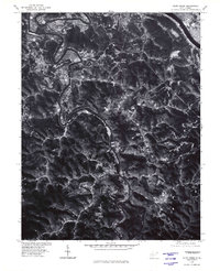
1976 Map of Alum Creek
USGS Topo · Published 1980About this map
The Coal River meanders through a deeply dissected landscape in this mid-1970s orthophoto, showing the intricate relationship between West Virginia's topography and its settlement patterns. While the northern edge transitions into the more developed Saint Albans area near the Kanawha River, the heart of the map focuses on the winding river valleys that dictate the location of communities like Upper Falls and Forks of Coal.
Find a feature on this map
7 named features on this map. Tap any name to fly to it.
Don’t see what you’re looking for? This feature index may not catch every label — zoom into the map to look around manually.
Map Details
Editions of this 1976 Alum Creek Map
This is the sole edition of this map. No revisions or reprints were ever made.
Other maps of this area

1899 · Charleston
USGS Topo · 1:125,000

1909 · Charleston
USGS Topo · 1:62,500

1909 · Peytona
USGS Topo · 1:48,000

1909 · Saint Albans
USGS Topo · 1:62,500

1911 · Peytona
USGS Topo · 1:62,500

1911 · Madison
USGS Topo · 1:62,500

1929 · Madison
USGS Topo · 1:62,500

1929 · Peytona
USGS Topo · 1:62,500

1931 · Madison
USGS Topo · 1:62,500

1931 · Saint Albans
USGS Topo · 1:62,500