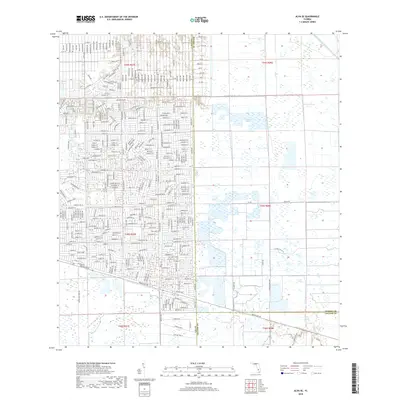
2018 Map of Alva SE
USGS Topo · Published 2018About this map
Twelvemile Slough and Fussel Slough dominate the eastern reaches of this Florida landscape, illustrating the complex wetland drainage patterns found where Lee, Hendry, and Collier counties meet. The western portion of the map reveals a dense, grid-like residential development pattern, primarily south of the Able Canal. This suburban expansion is defined by a rigorous street network including Sentinela Blvd and Porter St E, contrasting sharply with the open hydrology of the eastern wetlands. Significant transit corridors like Immokalee Rd and Hunt Brothers Rd provide the primary east-west connectivity across this transitioning terrain. The presence of the Townsend Canal in the northeast corner further highlights the managed water systems necessary for land use in this part of South Florida.
Find a feature on this map
28 named features on this map. Tap any name to fly to it.
Don’t see what you’re looking for? This feature index may not catch every label — zoom into the map to look around manually.
Map Details
Editions of this 2018 Alva SE Map
This is the sole edition of this map. No revisions or reprints were ever made.
Other maps of this area

1956 · West Palm Beach
USGS Topo · 1:250,000

1957 · West Palm Beach
USGS Topo · 1:250,000

1958 · West Palm Beach
USGS Topo · 1:250,000

1958 · Corkscrew NW
USGS Topo · 1:24,000

1958 · Immokalee
USGS Topo · 1:24,000

1958 · Felda
USGS Topo · 1:24,000

1958 · Olga
USGS Topo · 1:24,000

1958 · Alva SW
USGS Topo · 1:24,000

1958 · Alva
USGS Topo · 1:24,000

1958 · Sears
USGS Topo · 1:24,000